Eagle River night lights from space
Night Light of Eagle River (Alaska) from space (United States) Src. Average luminocity for 10x10km area is 28.1275% and for 50x50km: 12.8571%.
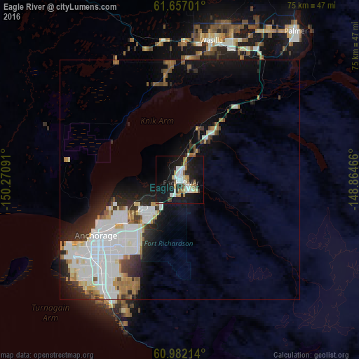
Analysis of Eagle River night lights 2016
Square area 10x10 km:
 3.16%
3.16%90-99
8.3%80-89
1.98%70-79
2.47%60-69
4.55%50-59
1.98%40-49
1.38%30-39
1.38%20-29
6.72%10-19
38.74%0-9
29.35%Square area 50x50 km:
4.17%90-99
3.24%80-89
0.79%70-79
0.84%60-69
1.21%50-59
0.96%40-49
0.79%30-39
1.31%20-29
2.53%10-19
6.25%0-9
77.9%Clear (daylight) street map image can be seen on geolist.org.
Map coordinates:
61° 39' 25.2" North, 150° 16' 15.3" West
61° 19' 17" North, 149° 34' 4" West
60° 58' 55.7" North, 148° 51' 52.8" West
Some cities around Eagle River sort by population:
• Anchorage
21.2 km =13.2 mi,  237°
237°
• Knik-Fairview
21.3 km =13.2 mi,  355°
355°
• Wasilla
29.6 km =18.4 mi,  13°
13°
• Lakes
34.6 km =21.5 mi,  23°
23°
• Tanaina
34.8 km =21.6 mi, 12°
• Meadow Lakes
33.8 km =21 mi, 356°
• Elmendorf Air Force Base
7.9 km =4.9 mi,  205°
205°
• Gateway
32.9 km =20.4 mi,  31°
31°
5861187 (p: 24,793)
Sources (retrieved 2019-11-25):
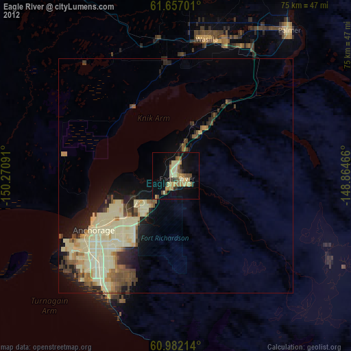
» Earth at Night: Flat Maps 2012, 2016