Drexel Hill night lights from space
Night Light of Drexel Hill (Pennsylvania) from space (United States) Src. Average luminocity for 10x10km area is 96.5561% and for 50x50km: 78.3359%.
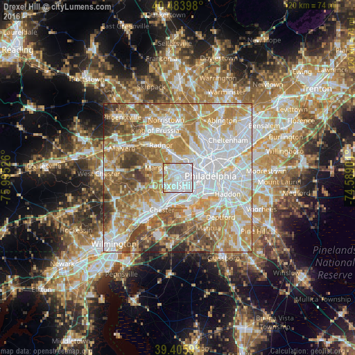
Analysis of Drexel Hill night lights 2016
Square area 10x10 km:
 59.01%
90-99
24.66%80-89
12.24%70-79
4.08%60-69
0%50-59
0%40-49
0%30-39
0%20-29
0%10-19
0%0-9
0%Square area 50x50 km:
24.39%90-99
17.54%80-89
10.62%70-79
13.15%60-69
13.5%50-59
9.41%40-49
5.73%30-39
3.71%20-29
1.68%10-19
0.27%0-9
0%Clear (daylight) street map image can be seen on geolist.org.
Map coordinates:
40° 29' 2.3" North, 75° 59' 42.9" West
39° 56' 49.4" North, 75° 17' 31.7" West
39° 24' 21.2" North, 74° 35' 20.4" West
Some cities around Drexel Hill sort by population:
• Springfield
3 km =1.9 mi,  232°
232°
• Yeadon
3.3 km =2.1 mi,  105°
105°
• Darby
4.3 km =2.7 mi,  138°
138°
• Lansdowne
2 km =1.2 mi,  119°
119°
• Collingdale
4.1 km =2.5 mi,  161°
161°
• Clifton Heights
2 km =1.2 mi,  190°
190°
• Sharon Hill
4.8 km =3 mi, 158°
• Penn Wynne
4.6 km =2.9 mi,  18°
18°
4557606 (p: 28,043)
Sources (retrieved 2019-11-25):
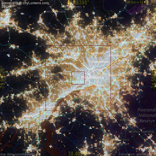
» Earth at Night: Flat Maps 2012, 2016