Collierville night lights from space
Night Light of Collierville (Tennessee) from space (United States) Src. Average luminocity for 10x10km area is 64.8497% and for 50x50km: 40.365%.
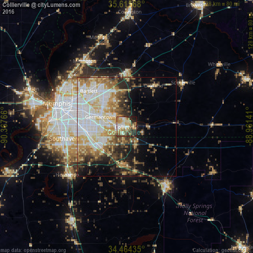
Analysis of Collierville night lights 2016
Square area 10x10 km:
 8.22%
8.22%90-99
16.78%80-89
13.81%70-79
11.54%60-69
7.52%50-59
9.09%40-49
9.62%30-39
7.87%20-29
11.19%10-19
4.37%0-9
0%Square area 50x50 km:
10.07%90-99
8.86%80-89
6.07%70-79
5.46%60-69
4.69%50-59
4.31%40-49
4.02%30-39
5.16%20-29
5.91%10-19
8.49%0-9
36.97%Clear (daylight) street map image can be seen on geolist.org.
Map coordinates:
35° 36' 56.4" North, 90° 22' 3.6" West
35° 2' 31.3" North, 89° 39' 52.3" West
34° 27' 51.7" North, 88° 57' 41.1" West
Some cities around Collierville sort by population:
• Bartlett
26.3 km =16.3 mi,  313°
313°
• Southaven
32.2 km =20 mi,  259°
259°
• Germantown
14.1 km =8.8 mi,  290°
290°
• Olive Branch
17.5 km =10.9 mi,  239°
239°
• Horn Lake
35.1 km =21.8 mi,  254°
254°
• Lakeland
22.1 km =13.7 mi,  341°
341°
• Arlington
28.3 km =17.6 mi,  0°
0°
• Oakland
24.8 km =15.4 mi,  33°
33°
4614748 (p: 48,863)
Sources (retrieved 2019-11-25):
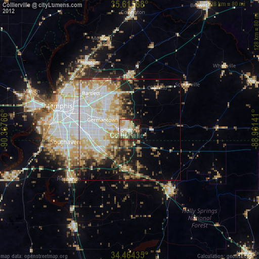
» Earth at Night: Flat Maps 2012, 2016