Berkley night lights from space
Night Light of Berkley (Colorado) from space (United States) Src. Average luminocity for 10x10km area is 97.432% and for 50x50km: 63.2858%.
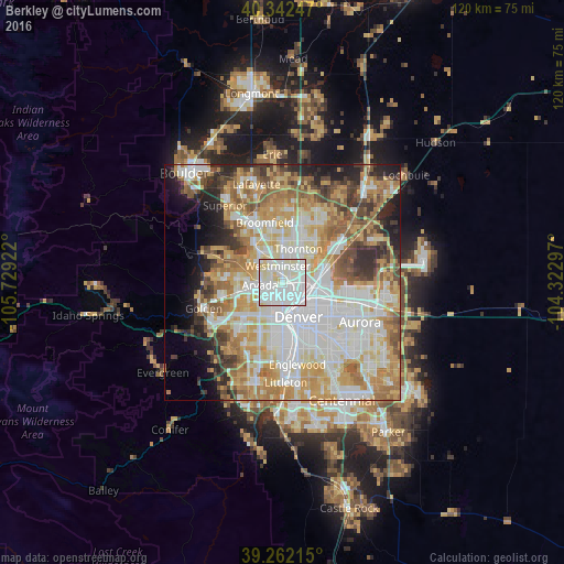
Analysis of Berkley night lights 2016
Square area 10x10 km:
 53.4%
53.4%90-99
36.56%80-89
10.03%70-79
0%60-69
0%50-59
0%40-49
0%30-39
0%20-29
0%10-19
0%0-9
0%Square area 50x50 km:
17.65%90-99
14.5%80-89
9.13%70-79
11.35%60-69
8.79%50-59
6.28%40-49
5.05%30-39
4.59%20-29
5.63%10-19
5.62%0-9
11.4%Clear (daylight) street map image can be seen on geolist.org.
Map coordinates:
40° 20' 32.9" North, 105° 43' 45.2" West
39° 48' 15.9" North, 105° 1' 33.9" West
39° 15' 43.7" North, 104° 19' 22.7" West
Some cities around Berkley sort by population:
• Arvada
5.2 km =3.2 mi,  267°
267°
• Westminster
3.7 km =2.3 mi,  345°
345°
• Wheat Ridge
6.1 km =3.8 mi,  225°
225°
• Sherrelwood
4.3 km =2.7 mi,  29°
29°
• Federal Heights
5.7 km =3.5 mi,  24°
24°
• Twin Lakes
2.9 km =1.8 mi,  38°
38°
• Edgewater
6.6 km =4.1 mi,  209°
209°
• Shaw Heights
5.5 km =3.4 mi,  344°
344°
5413519 (p: 11,207)
Sources (retrieved 2019-11-25):
» Earth at Night: Flat Maps 2012, 2016