Benton night lights from space
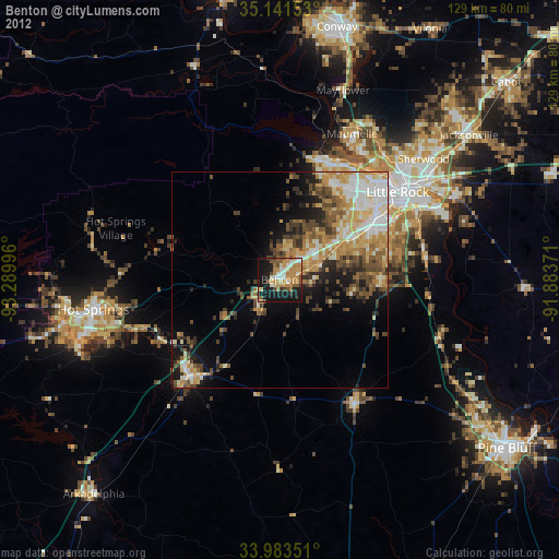
Night Light of Benton (Arkansas) from space (United States) Src. Average luminocity for 10x10km area is 45.993% and for 50x50km: 19.9136%.

Analysis of Benton night lights 2016
Square area 10x10 km:
 5.59%
5.59%90-99
7.87%80-89
5.94%70-79
5.42%60-69
9.27%50-59
12.06%40-49
6.29%30-39
2.97%20-29
10.14%10-19
32.69%0-9
1.75%Square area 50x50 km:
2.93%90-99
3.44%80-89
2.17%70-79
3.09%60-69
3.51%50-59
3.56%40-49
3.18%30-39
4.03%20-29
3.53%10-19
6.93%0-9
63.64%Clear (daylight) street map image can be seen on geolist.org.
Map coordinates:
35° 8' 29.5" North, 93° 17' 23.9" West
34° 33' 52.3" North, 92° 35' 12.6" West
33° 59' 0.6" North, 91° 53' 1.4" West
Some cities around Benton sort by population:
• Little Rock
33.9 km =21.1 mi,  53°
53°
• North Little Rock
37.1 km =23.1 mi, 52°
• Sherwood
43.3 km =26.9 mi, 49°
• Bryant
9.6 km =6 mi,  68°
68°
• Maumelle
37.5 km =23.3 mi,  26°
26°
• Hot Springs Village
39.5 km =24.5 mi,  287°
287°
• Malvern
30.6 km =19 mi,  222°
222°
• East End
22.6 km =14 mi,  93°
93°
4101241 (p: 34,177)
Sources (retrieved 2019-11-25):
» Earth at Night: Flat Maps 2012, 2016