Znomenka night lights from space
Night Light of Znomenka (Kirovohrad) from space (Ukraine) Src. Average luminocity for 10x10km area is 3.5051% and for 50x50km: 0.167%.
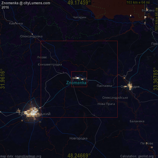
Analysis of Znomenka night lights 2016
Square area 10x10 km:
 0.58%
0.58%90-99
0.58%80-89
0.29%70-79
0.29%60-69
0%50-59
0.58%40-49
0.58%30-39
0.29%20-29
2.16%10-19
1.59%0-9
93.07%Square area 50x50 km:
0.02%90-99
0.02%80-89
0.01%70-79
0.01%60-69
0%50-59
0.02%40-49
0.02%30-39
0.01%20-29
0.1%10-19
0.1%0-9
99.68%Clear (daylight) street map image can be seen on geolist.org.
Map coordinates:
49° 10' 28.5" North, 31° 57' 41.8" East
48° 42' 46" North, 32° 39' 53" East
48° 14' 48.1" North, 33° 22' 4.3" East
Some cities around Znomenka sort by population:
• Kropyvnytskyi
37.1 km =23.1 mi,  233°
233°
• Oleksandriya
33.5 km =20.8 mi,  98°
98°
• Kamianka
54.2 km =33.7 mi,  310°
310°
• Chyhyryn
41.3 km =25.7 mi,  359°
359°
• Oleksandrivka
42 km =26.1 mi, 311°
• Nova Praha
23.8 km =14.8 mi,  132°
132°
• Novhorodka
38.7 km =24 mi,  180°
180°
• Oleksandriys’ke
26.2 km =16.3 mi,  116°
116°
686919 (p: 28,318)
Sources (retrieved 2019-11-25):
» Earth at Night: Flat Maps 2012, 2016