Drohobych night lights from space
Night Light of Drohobych (Lviv) from space (Ukraine) Src. Average luminocity for 10x10km area is 22.3556% and for 50x50km: 1.6986%.
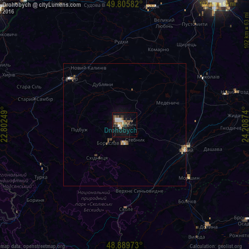
Analysis of Drohobych night lights 2016
Square area 10x10 km:
 3.74%
3.74%90-99
3.61%80-89
1.87%70-79
1.07%60-69
2.81%50-59
4.01%40-49
2.94%30-39
4.14%20-29
2.54%10-19
27.94%0-9
45.32%Square area 50x50 km:
0.21%90-99
0.23%80-89
0.16%70-79
0.14%60-69
0.2%50-59
0.3%40-49
0.3%30-39
0.35%20-29
0.13%10-19
1.29%0-9
96.7%Clear (daylight) street map image can be seen on geolist.org.
Map coordinates:
49° 48' 21" North, 22° 48' 9" East
49° 20' 59.7" North, 23° 30' 20.2" East
48° 53' 23" North, 24° 12' 31.5" East
Some cities around Drohobych sort by population:
• Stryi
27.2 km =16.9 mi,  110°
110°
• Boryslav
8.8 km =5.5 mi,  217°
217°
• Sambir
29.1 km =18.1 mi,  310°
310°
• Truskavets’
8 km =5 mi,  179°
179°
• Stebnyk
7.5 km =4.7 mi,  145°
145°
• Skole
34.8 km =21.6 mi, 179°
• Morshyn
34.2 km =21.3 mi,  128°
128°
• Staryy Sambir
37.9 km =23.5 mi,  285°
285°
709611 (p: 79,406)
Sources (retrieved 2019-11-25):
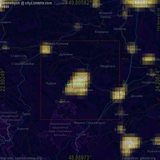
» NASA, Earths city lights 1995
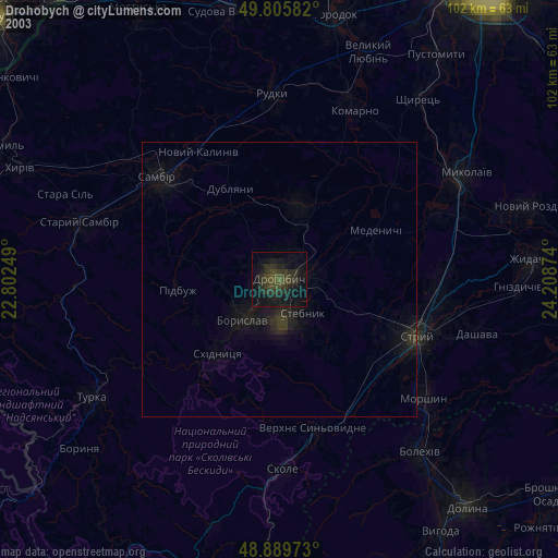
» NASA city lights 2003
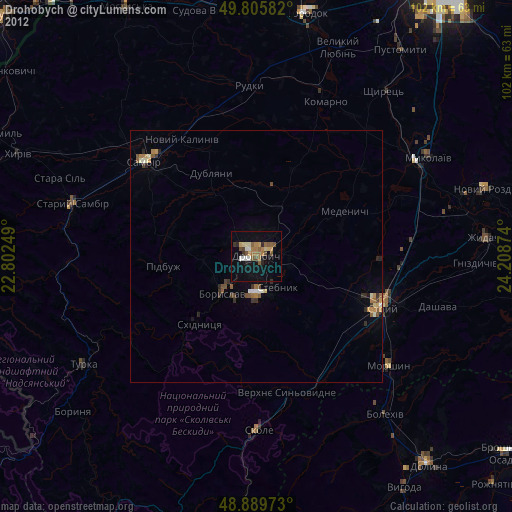
» Earth at Night: Flat Maps 2012, 2016