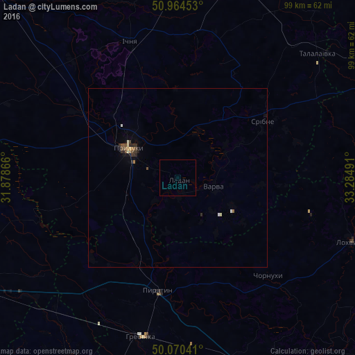
Ladan night lights from space
Night Light of Ladan (Chernihiv) from space (Ukraine) Src. Average luminocity for 10x10km area is 0% and for 50x50km: 0.5953%.
Analysis of Ladan night lights 2016
Square area 10x10 km:
 0%
0%90-99
0%80-89
0%70-79
0%60-69
0%50-59
0%40-49
0%30-39
0%20-29
0%10-19
0%0-9
100%Square area 50x50 km:
0.03%90-99
0.08%80-89
0.06%70-79
0.05%60-69
0.06%50-59
0.11%40-49
0.1%30-39
0.21%20-29
0.16%10-19
0.16%0-9
98.97%Clear (daylight) street map image can be seen on geolist.org.
Map coordinates:
50° 57' 52.3" North, 31° 52' 43.2" East
50° 31' 10.5" North, 32° 34' 54.4" East
50° 4' 13.5" North, 33° 17' 5.7" East
Some cities around Ladan sort by population:
• Pryluky
16 km =9.9 mi,  300°
300°
• Lubny
63.3 km =39.3 mi,  152°
152°
• Pyriatyn
31.3 km =19.4 mi,  189°
189°
• Ichnya
40.4 km =25.1 mi,  340°
340°
• Lokhvytsya
50.9 km =31.6 mi,  109°
109°
• Hrebinka
45.9 km =28.5 mi, 193°
• Varva
10.1 km =6.3 mi, 105°
• Zgurovka
56.4 km =35 mi,  268°
268°
703438 (p: 6,719)
Sources (retrieved 2019-11-25):
» Earth at Night: Flat Maps 2012, 2016