Mabama night lights from space
Night Light of Mabama (Tabora) from space (Tanzania) Src. Average luminocity for 10x10km area is 0% and for 50x50km: 0.0111%.
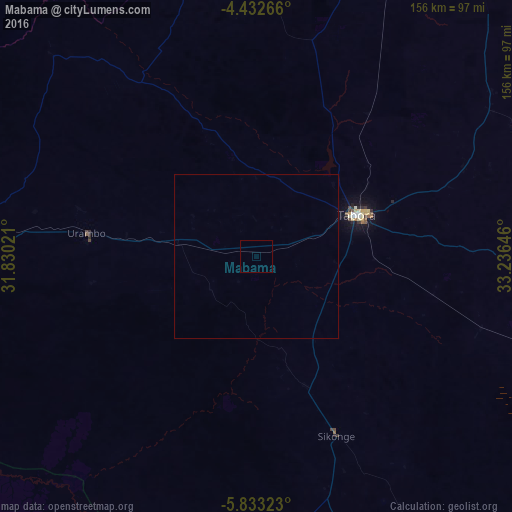
Analysis of Mabama night lights 2016
Square area 10x10 km:
100  0%
0%
90-99 0%
80-89 0%
70-79 0%
60-69 0%
50-59 0%
40-49 0%
30-39 0%
20-29 0%
10-19 0%
0-9 100%
0%90-99
0%80-89
0%70-79
0%60-69
0%50-59
0%40-49
0%30-39
0%20-29
0%10-19
0%0-9
100%Square area 50x50 km:
100 0%
90-99 0%
80-89 0%
70-79 0%
60-69 0%
50-59 0%
40-49 0%
30-39 0%
20-29 0%
10-19 0%
0-9 100%
0%90-99
0%80-89
0%70-79
0%60-69
0%50-59
0%40-49
0%30-39
0%20-29
0%10-19
0%0-9
100%Clear (daylight) street map image can be seen on geolist.org.
Map coordinates:
4° 25' 57.6" South, 31° 49' 48.8" East
5° 7' 60" South, 32° 31' 60" East
5° 49' 59.6" South, 33° 14' 11.3" East
Some cities around Mabama sort by population:
• Tabora
35 km =21.7 mi,  68°
68°
• Tumbi
23.4 km =14.5 mi, 71°
• Sikonge
61.3 km =38.1 mi,  155°
155°
• Nzega
124.8 km =77.5 mi,  35°
35°
• Urambo
54 km =33.6 mi,  277°
277°
• Kaliua
82.3 km =51.1 mi, 275°
• Bukene
107.3 km =66.7 mi,  21°
21°
• Usoke
20.6 km =12.8 mi,  259°
259°
155515 (p: 15,320)
Sources (retrieved 2019-11-25):
» Earth at Night: Flat Maps 2012, 2016