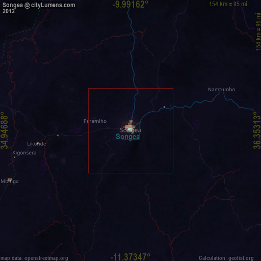
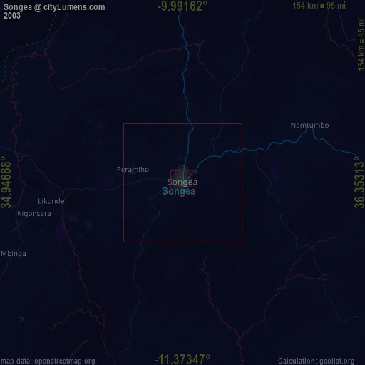
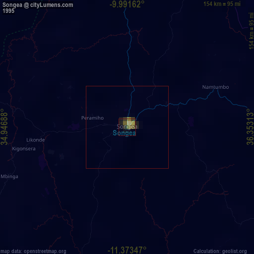
Songea night lights from space
Night Light of Songea (Ruvuma) from space (Tanzania) Src. Average luminocity for 10x10km area is 17.7789% and for 50x50km: 0.9252%.
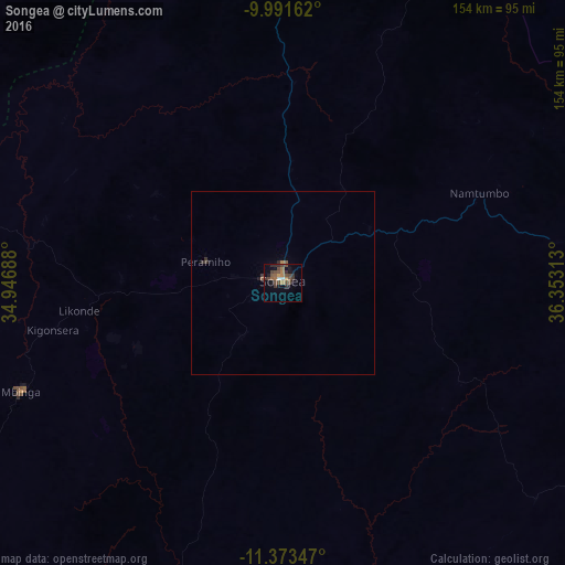
Analysis of Songea night lights 2016
Square area 10x10 km:
 0.21%
0.21%90-99
1.45%80-89
0%70-79
1.24%60-69
4.75%50-59
3.51%40-49
10.12%30-39
3.72%20-29
3.93%10-19
5.79%0-9
65.29%Square area 50x50 km:
0.01%90-99
0.06%80-89
0%70-79
0.05%60-69
0.23%50-59
0.21%40-49
0.41%30-39
0.24%20-29
0.25%10-19
0.29%0-9
98.25%Clear (daylight) street map image can be seen on geolist.org.
Map coordinates:
9° 59' 29.8" South, 34° 56' 48.8" East
10° 40' 60" South, 35° 39' 0" East
11° 22' 24.5" South, 36° 21' 11.3" East
Some cities around Songea sort by population:
• Mbinga
74.5 km =46.3 mi,  248°
248°
• Kigonsera
66.8 km =41.5 mi,  258°
258°
• Maposeni
29.5 km =18.3 mi,  292°
292°
• Matiri
82.3 km =51.1 mi, 264°
• Tingi
96.1 km =59.7 mi,  224°
224°
• Mahanje
90.3 km =56.1 mi,  337°
337°
• Mbamba Bay
117.2 km =72.8 mi,  235°
235°
• Manda
119.1 km =74 mi,  281°
281°
877401 (p: 126,449)
Sources (retrieved 2019-11-25):
» NASA, Earths city lights 1995
» NASA city lights 2003
» Earth at Night: Flat Maps 2012, 2016