Kigonsera night lights from space
Night Light of Kigonsera (Ruvuma) from space (Tanzania) Src. Average luminocity for 10x10km area is 0% and for 50x50km: 0.2081%.
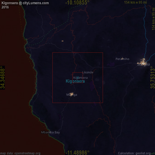
Analysis of Kigonsera night lights 2016
Square area 10x10 km:
100  0%
0%
90-99 0%
80-89 0%
70-79 0%
60-69 0%
50-59 0%
40-49 0%
30-39 0%
20-29 0%
10-19 0%
0-9 100%
0%90-99
0%80-89
0%70-79
0%60-69
0%50-59
0%40-49
0%30-39
0%20-29
0%10-19
0%0-9
100%Square area 50x50 km:
100 0%
90-99 0%
80-89 0%
70-79 0.03%
60-69 0%
50-59 0.11%
40-49 0.16%
30-39 0%
20-29 0.06%
10-19 0.08%
0-9 99.56%
0%90-99
0%80-89
0%70-79
0.03%60-69
0%50-59
0.11%40-49
0.16%30-39
0%20-29
0.06%10-19
0.08%0-9
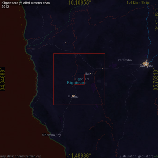
99.56%Clear (daylight) street map image can be seen on geolist.org.
Map coordinates:
10° 6' 30.8" South, 34° 20' 48.8" East
10° 48' 0" South, 35° 3' 0" East
11° 29' 23.5" South, 35° 45' 11.3" East
Some cities around Kigonsera sort by population:
• Songea
66.8 km =41.5 mi,  78°
78°
• Mbinga
15.3 km =9.5 mi,  193°
193°
• Maposeni
45.2 km =28.1 mi,  57°
57°
• Matiri
17.3 km =10.7 mi,  288°
288°
• Tingi
55.6 km =34.5 mi,  181°
181°
• Liuli
55.3 km =34.4 mi,  235°
235°
• Mbamba Bay
62 km =38.5 mi,  209°
209°
• Manda
63 km =39.1 mi,  306°
306°
878400 (p: 22,155)
Sources (retrieved 2019-11-25):
» Earth at Night: Flat Maps 2012, 2016