Mtwara night lights from space
Night Light of Mtwara from space (Tanzania) Src. Average luminocity for 10x10km area is 21.157% and for 50x50km: 1.2779%.
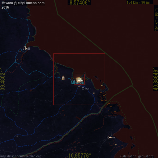
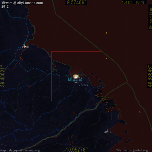
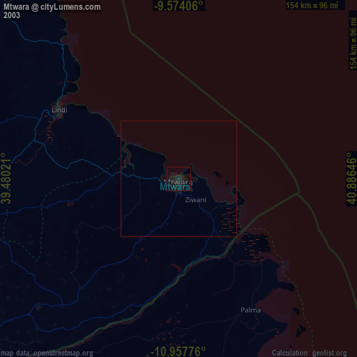
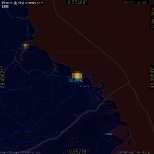
Analysis of Mtwara night lights 2016
Square area 10x10 km:
 1.24%
1.24%90-99
1.24%80-89
2.69%70-79
6.2%60-69
3.51%50-59
2.89%40-49
5.99%30-39
1.86%20-29
1.65%10-19
6.4%0-9
66.32%Square area 50x50 km:
0.1%90-99
0.07%80-89
0.11%70-79
0.35%60-69
0.21%50-59
0.12%40-49
0.38%30-39
0.14%20-29
0.1%10-19
0.29%0-9
98.12%Clear (daylight) street map image can be seen on geolist.org.
Map coordinates:
9° 34' 26.6" South, 39° 28' 48.8" East
10° 16' 0" South, 40° 10' 60" East
10° 57' 27.9" South, 40° 53' 11.3" East
Some cities around Mtwara sort by population:
• Lindi
59.2 km =36.8 mi,  300°
300°
• Nanyamba
60.1 km =37.3 mi,  219°
219°
• Tandahimba
80.6 km =50.1 mi,  228°
228°
• Kitama
70.2 km =43.6 mi, 224°
• Madimba
22.1 km =13.7 mi,  132°
132°
• Mtama
89.4 km =55.6 mi,  267°
267°
• Namikupa
89.6 km =55.7 mi, 225°
• Mingoyo
64.4 km =40 mi,  286°
286°
877747 (p: 96,602)
Sources (retrieved 2019-11-25):
» NASA, Earths city lights 1995
» NASA city lights 2003
» Earth at Night: Flat Maps 2012, 2016