Madimba night lights from space
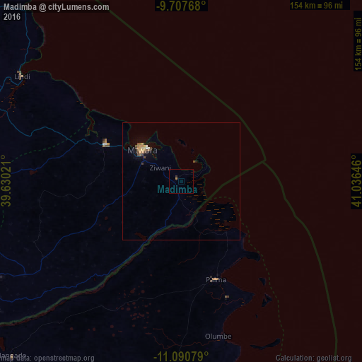
Night Light of Madimba (Mtwara) from space (Tanzania) Src. Average luminocity for 10x10km area is 0.9132% and for 50x50km: 1.019%.
Analysis of Madimba night lights 2016
Square area 10x10 km:
 0%
0%90-99
0%80-89
0%70-79
0.83%60-69
0%50-59
0%40-49
0%30-39
0.83%20-29
0%10-19
0%0-9
98.35%Square area 50x50 km:
0.05%90-99
0.05%80-89
0.11%70-79
0.29%60-69
0.14%50-59
0.12%40-49
0.28%30-39
0.14%20-29
0.07%10-19
0.29%0-9
98.46%Clear (daylight) street map image can be seen on geolist.org.
Map coordinates:
9° 42' 27.6" South, 39° 37' 48.8" East
10° 24' 0" South, 40° 19' 60" East
11° 5' 26.8" South, 41° 2' 11.3" East
Some cities around Madimba sort by population:
• Mtwara
22.1 km =13.7 mi,  312°
312°
• Lindi
81 km =50.3 mi,  303°
303°
• Nanyamba
63.1 km =39.2 mi,  240°
240°
• Tandahimba
85.8 km =53.3 mi, 243°
• Kitama
74.4 km =46.2 mi, 241°
• Nanhyanga
96.5 km =60 mi, 242°
• Namikupa
93.5 km =58.1 mi, 238°
• Mingoyo
84.8 km =52.7 mi,  292°
292°
878141 (p: 12,507)
Sources (retrieved 2019-11-25):
» Earth at Night: Flat Maps 2012, 2016