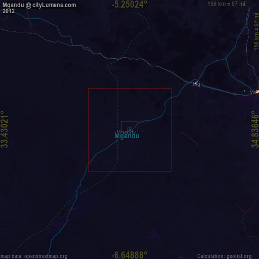
Mgandu night lights from space
Night Light of Mgandu (Singida) from space (Tanzania) Src. Average luminocity for 10x10km area is 0% and for 50x50km: 0.0093%.

Analysis of Mgandu night lights 2016
Square area 10x10 km:
100  0%
0%
90-99 0%
80-89 0%
70-79 0%
60-69 0%
50-59 0%
40-49 0%
30-39 0%
20-29 0%
10-19 0%
0-9 100%
0%90-99
0%80-89
0%70-79
0%60-69
0%50-59
0%40-49
0%30-39
0%20-29
0%10-19
0%0-9
100%Square area 50x50 km:
100 0%
90-99 0%
80-89 0%
70-79 0%
60-69 0%
50-59 0%
40-49 0%
30-39 0%
20-29 0.03%
10-19 0%
0-9 99.97%
0%90-99
0%80-89
0%70-79
0%60-69
0%50-59
0%40-49
0%30-39
0%20-29
0.03%10-19
0%0-9
99.97%Clear (daylight) street map image can be seen on geolist.org.
Map coordinates:
5° 15' 0.9" South, 33° 25' 48.8" East
5° 57' 0" South, 34° 7' 60" East
6° 38' 56" South, 34° 50' 11.3" East
Some cities around Mgandu sort by population:
• Singida
143 km =88.9 mi,  28°
28°
• Sepuka
140.6 km =87.4 mi,  18°
18°
• Itigi
47.7 km =29.6 mi,  54°
54°
• Ikungi
114.7 km =71.3 mi,  37°
37°
• Puma
124.8 km =77.5 mi, 32°
• Mungaa
137.3 km =85.3 mi, 37°
• Kintinku
121.9 km =75.7 mi,  86°
86°
• Kilimatinde
91 km =56.5 mi,  82°
82°
154097 (p: 23,718)
Sources (retrieved 2019-11-25):
» Earth at Night: Flat Maps 2012, 2016