Ordu night lights from space
Night Light of Ordu from space (Turkey) Src. Average luminocity for 10x10km area is 48.284% and for 50x50km: 5.8203%.
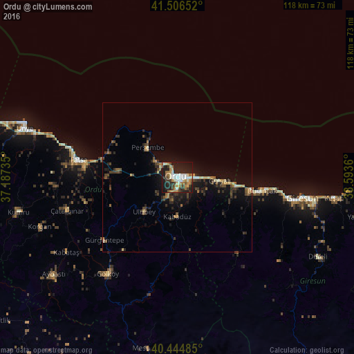
Analysis of Ordu night lights 2016
Square area 10x10 km:
 6.8%
6.8%90-99
10.71%80-89
6.63%70-79
6.12%60-69
8.33%50-59
4.25%40-49
3.91%30-39
8.5%20-29
20.41%10-19
23.98%0-9
0.34%Square area 50x50 km:
0.3%90-99
0.63%80-89
0.68%70-79
0.67%60-69
0.88%50-59
0.64%40-49
1.18%30-39
1.21%20-29
2.1%10-19
5.14%0-9
86.58%Clear (daylight) street map image can be seen on geolist.org.
Map coordinates:
41° 30' 23.5" North, 37° 11' 14.5" East
40° 58' 40.2" North, 37° 53' 25.7" East
40° 26' 41.5" North, 38° 35' 37" East
Some cities around Ordu sort by population:
• Giresun
42.3 km =26.3 mi,  99°
99°
• Fatsa
33.1 km =20.6 mi,  279°
279°
• Bulancak
29 km =18 mi, 98°
• Gürgentepe
33.1 km =20.6 mi,  229°
229°
• Perşembe
14 km =8.7 mi,  314°
314°
• Çamaş
31.6 km =19.6 mi,  254°
254°
• Piraziz
20.6 km =12.8 mi,  107°
107°
• Ulubey
16.7 km =10.4 mi,  223°
223°
741100 (p: 116,788)
Sources (retrieved 2019-11-25):
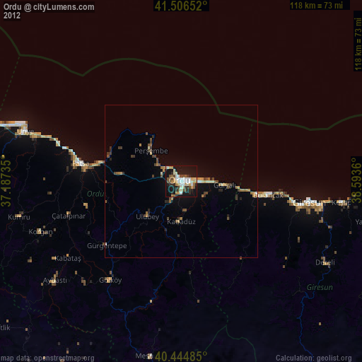
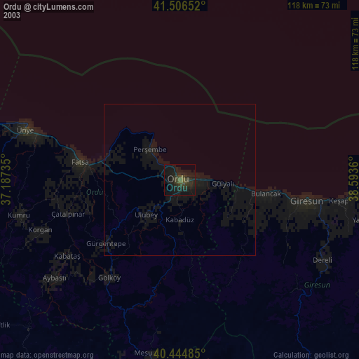
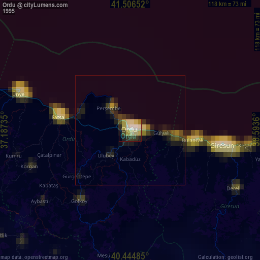
» NASA, Earths city lights 1995
» NASA city lights 2003
» Earth at Night: Flat Maps 2012, 2016