Nevşehir night lights from space
Night Light of Nevşehir from space (Turkey) Src. Average luminocity for 10x10km area is 46.086% and for 50x50km: 10.9151%.
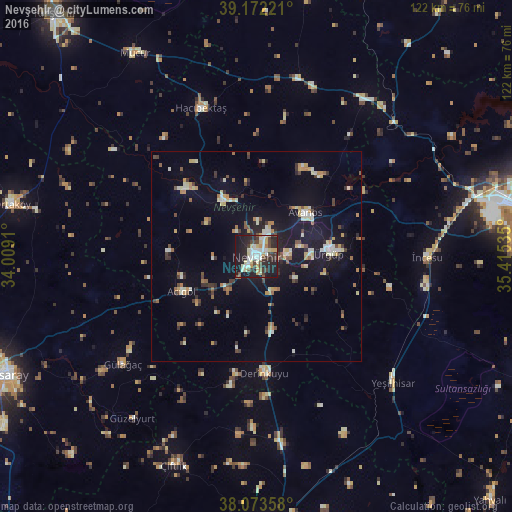
Analysis of Nevşehir night lights 2016
Square area 10x10 km:
 7.95%
7.95%90-99
11.2%80-89
6.66%70-79
5.84%60-69
1.46%50-59
2.6%40-49
6.98%30-39
8.6%20-29
20.29%10-19
27.76%0-9
0.65%Square area 50x50 km:
0.71%90-99
2.05%80-89
1.24%70-79
1.43%60-69
1.01%50-59
1.07%40-49
1.42%30-39
1.73%20-29
1.92%10-19
9.33%0-9
78.09%Clear (daylight) street map image can be seen on geolist.org.
Map coordinates:
39° 10' 20" North, 34° 0' 32.8" East
38° 37' 30" North, 34° 42' 44" East
38° 4' 24.9" North, 35° 24' 55.3" East
Some cities around Nevşehir sort by population:
• Ürgüp
17.4 km =10.8 mi,  88°
88°
• Yeşilhisar
44.6 km =27.7 mi,  132°
132°
• Avanos
15.4 km =9.6 mi,  49°
49°
• Derinkuyu
27.9 km =17.3 mi,  176°
176°
• Gülşehir
15.4 km =9.6 mi,  330°
330°
• Hacıbektaş
37.6 km =23.4 mi,  339°
339°
• Acıgöl
19.5 km =12.1 mi,  244°
244°
• Göreme
10.9 km =6.8 mi,  78°
78°
303831 (p: 75,527)
Sources (retrieved 2019-11-25):
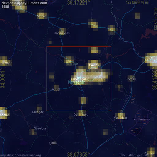
» NASA, Earths city lights 1995
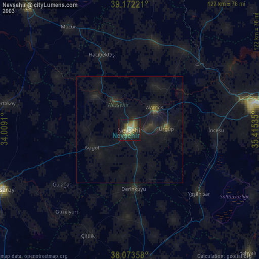
» NASA city lights 2003
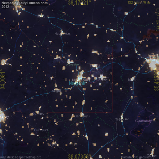
» Earth at Night: Flat Maps 2012, 2016