Kuşadası night lights from space
Night Light of Kuşadası (Aydın) from space (Turkey) Src. Average luminocity for 10x10km area is 37.9334% and for 50x50km: 12.7688%.
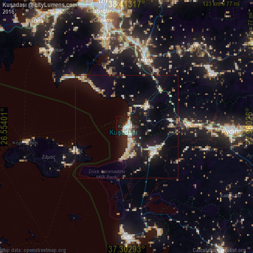
Analysis of Kuşadası night lights 2016
Square area 10x10 km:
 7.79%
7.79%90-99
9.74%80-89
3.73%70-79
4.38%60-69
1.3%50-59
2.92%40-49
1.46%30-39
5.84%20-29
14.45%10-19
33.77%0-9
14.61%Square area 50x50 km:
1.14%90-99
2.77%80-89
1.31%70-79
1.65%60-69
1.09%50-59
0.94%40-49
1.06%30-39
1.89%20-29
3.21%10-19
13.25%0-9
71.68%Clear (daylight) street map image can be seen on geolist.org.
Map coordinates:
38° 24' 47.4" North, 26° 33' 14.4" East
37° 51' 36.5" North, 27° 15' 25.7" East
37° 18' 10.5" North, 27° 57' 36.9" East
Some cities around Kuşadası sort by population:
• Söke
18.1 km =11.2 mi,  133°
133°
• Torbalı
33.7 km =20.9 mi,  15°
15°
• Selçuk
14.1 km =8.8 mi,  43°
43°
• İncirliova
41 km =25.5 mi,  91°
91°
• Özdere
20.7 km =12.9 mi,  326°
326°
• Germencik
30.4 km =18.9 mi, 87°
• Davutlar
14.4 km =8.9 mi,  167°
167°
• Koçarlı
40.9 km =25.4 mi,  105°
105°
305359 (p: 63,177)
Sources (retrieved 2019-11-25):
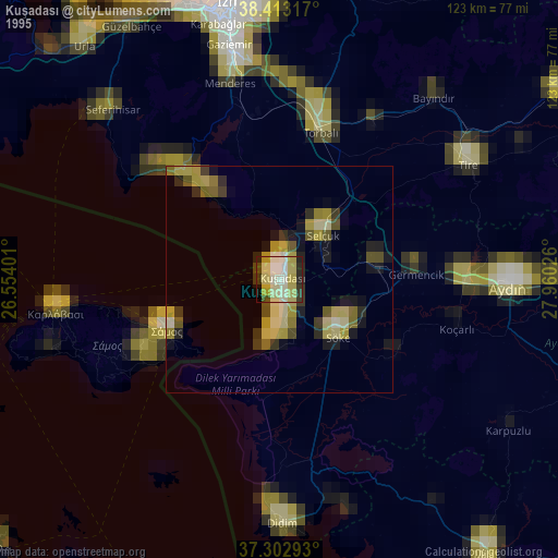
» NASA, Earths city lights 1995
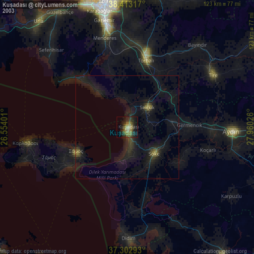
» NASA city lights 2003
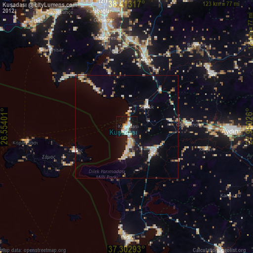
» Earth at Night: Flat Maps 2012, 2016