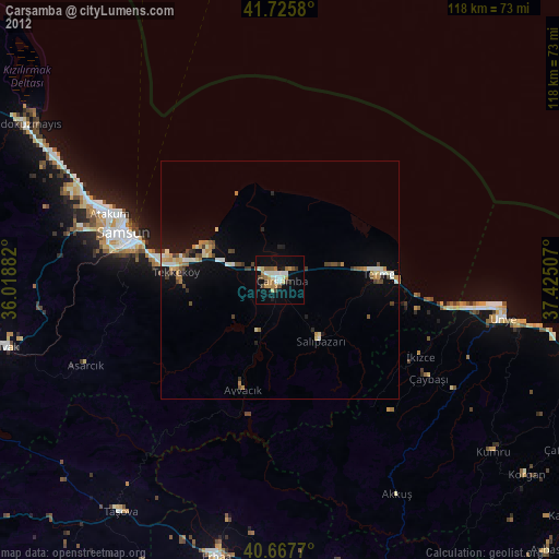
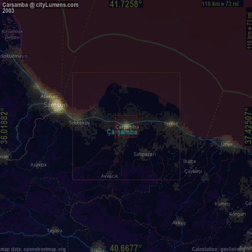
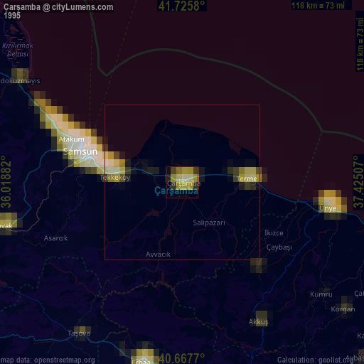
Çarşamba night lights from space
Night Light of Çarşamba (Samsun) from space (Turkey) Src. Average luminocity for 10x10km area is 31.2792% and for 50x50km: 6.452%.

Analysis of Çarşamba night lights 2016
Square area 10x10 km:
 4.55%
4.55%90-99
6.49%80-89
2.76%70-79
3.08%60-69
5.19%50-59
1.95%40-49
4.06%30-39
4.22%20-29
4.71%10-19
43.67%0-9
19.32%Square area 50x50 km:
0.45%90-99
1.2%80-89
0.63%70-79
0.59%60-69
0.88%50-59
0.5%40-49
0.98%30-39
1.27%20-29
1.63%10-19
7.21%0-9
84.67%Clear (daylight) street map image can be seen on geolist.org.
Map coordinates:
41° 43' 32.9" North, 36° 1' 7.8" East
41° 11' 56" North, 36° 43' 19" East
40° 40' 3.7" North, 37° 25' 30.3" East
Some cities around Çarşamba sort by population:
• Samsun
33.5 km =20.8 mi,  285°
285°
• Ünye
47.5 km =29.5 mi,  99°
99°
• Kumru
58 km =36 mi,  128°
128°
• Terme
21.1 km =13.1 mi,  86°
86°
• Tekkeköy
22 km =13.7 mi,  273°
273°
• İkizce
33.8 km =21 mi,  117°
117°
• Akkuş
51.4 km =31.9 mi,  151°
151°
• Ayvacık
24.3 km =15.1 mi,  198°
198°
749704 (p: 50,459)
Sources (retrieved 2019-11-25):
» NASA, Earths city lights 1995
» NASA city lights 2003
» Earth at Night: Flat Maps 2012, 2016