Kumru night lights from space
Night Light of Kumru (Ordu) from space (Turkey) Src. Average luminocity for 10x10km area is 5.784% and for 50x50km: 4.2971%.
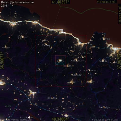
Analysis of Kumru night lights 2016
Square area 10x10 km:
100  0%
0%
90-99 1.36%
80-89 0%
70-79 0.17%
60-69 1.87%
50-59 0.68%
40-49 2.21%
30-39 1.19%
20-29 0.85%
10-19 1.87%
0-9 89.8%
0%90-99
1.36%80-89
0%70-79
0.17%60-69
1.87%50-59
0.68%40-49
2.21%30-39
1.19%20-29
0.85%10-19
1.87%0-9
89.8%Square area 50x50 km:
100 0.13%
90-99 0.4%
80-89 0.36%
70-79 0.47%
60-69 0.47%
50-59 0.68%
40-49 1.03%
30-39 1.19%
20-29 1.23%
10-19 3.32%
0-9 90.71%
0.13%90-99
0.4%80-89
0.36%70-79
0.47%60-69
0.47%50-59
0.68%40-49
1.03%30-39
1.19%20-29
1.23%10-19
3.32%0-9
90.71%Clear (daylight) street map image can be seen on geolist.org.
Map coordinates:
41° 24' 14.3" North, 36° 33' 38.8" East
40° 52' 28" North, 37° 15' 50" East
40° 20' 26.3" North, 37° 58' 1.3" East
Some cities around Kumru sort by population:
• Fatsa
26.2 km =16.3 mi,  49°
49°
• Ünye
28.6 km =17.8 mi,  3°
3°
• Gürgentepe
29.1 km =18.1 mi,  109°
109°
• Korgan
8.9 km =5.5 mi,  128°
128°
• İkizce
25.6 km =15.9 mi,  322°
322°
• Çamaş
22.4 km =13.9 mi,  82°
82°
• Akkuş
22.7 km =14.1 mi,  246°
246°
• Kabataş
20.9 km =13 mi, 131°
742238 (p: 32,174)
Sources (retrieved 2019-11-25):
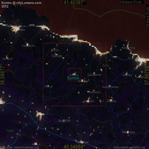
» Earth at Night: Flat Maps 2012, 2016