Qŭrghonteppa night lights from space
Night Light of Qŭrghonteppa (Khatlon) from space (Tajikistan) Src. Average luminocity for 10x10km area is 29.665% and for 50x50km: 2.3828%.
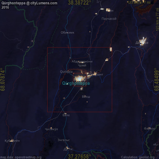

Analysis of Qŭrghonteppa night lights 2016
Square area 10x10 km:
 1.87%
1.87%90-99
5.44%80-89
5.44%70-79
4.25%60-69
2.55%50-59
2.55%40-49
4.76%30-39
5.27%20-29
4.59%10-19
39.12%0-9
24.15%Square area 50x50 km:
0.07%90-99
0.38%80-89
0.45%70-79
0.2%60-69
0.26%50-59
0.21%40-49
0.34%30-39
0.69%20-29
0.51%10-19
2.06%0-9
94.83%Clear (daylight) street map image can be seen on geolist.org.
Map coordinates:
38° 23' 14" North, 68° 4' 43.5" East
37° 50' 2.4" North, 68° 46' 54.7" East
37° 16' 35.7" North, 69° 29' 6" East
Some cities around Qŭrghonteppa sort by population:
• Moskovskiy
30.6 km =19 mi,  215°
215°
• Kolkhozobod
29.4 km =18.3 mi,  201°
201°
• Vakhsh
14 km =8.7 mi,  160°
160°
• Abdurahmoni Jomí
12.7 km =7.9 mi,  10°
10°
• Gharavŭtí
41.8 km =26 mi, 224°
• Kirov
7 km =4.3 mi,  103°
103°
• Orzu
30.8 km =19.1 mi,  173°
173°
• Jilikŭl
44 km =27.3 mi,  210°
210°
1220747 (p: 65,000)
Sources (retrieved 2019-11-25):
» NASA, Earths city lights 1995
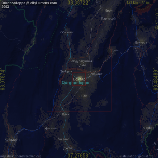
» NASA city lights 2003
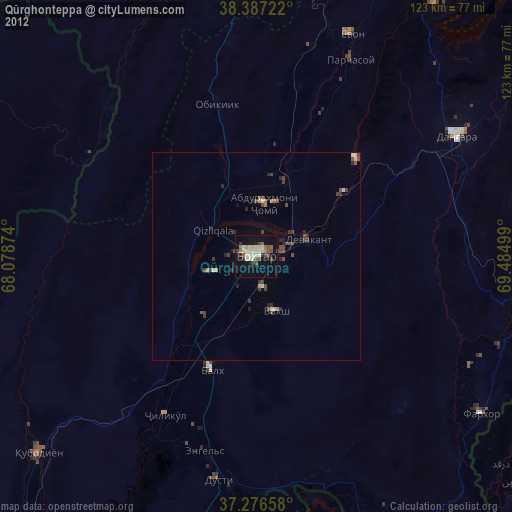
» Earth at Night: Flat Maps 2012, 2016