Mae Hong Son night lights from space
Night Light of Mae Hong Son from space (Thailand) Src. Average luminocity for 10x10km area is 15.8615% and for 50x50km: 0.8696%.
Analysis of Mae Hong Son night lights 2016
Square area 10x10 km:
 0.87%
0.87%90-99
0.87%80-89
3.46%70-79
2.16%60-69
3.9%50-59
1.95%40-49
2.81%30-39
3.03%20-29
1.3%10-19
1.08%0-9
78.57%Square area 50x50 km:
0.03%90-99
0.03%80-89
0.13%70-79
0.11%60-69
0.14%50-59
0.18%40-49
0.26%30-39
0.19%20-29
0.08%10-19
0.1%0-9
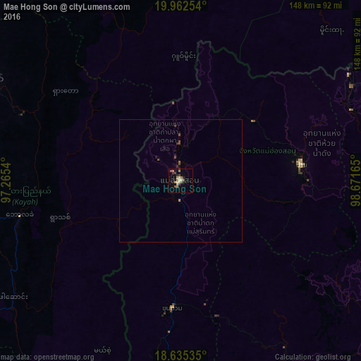
98.74%Clear (daylight) street map image can be seen on geolist.org.
Map coordinates:
19° 57' 45.1" North, 97° 15' 55.4" East
19° 18' 1" North, 97° 58' 6.7" East
18° 38' 7.3" North, 98° 40' 17.9" East
Some cities around Mae Hong Son sort by population:
• Chiang Mai
120.9 km =75.1 mi,  117°
117°
• Lamphun
135.4 km =84.1 mi,  126°
126°
• San Kamphaeng
135.8 km =84.4 mi, 117°
• Hang Dong
121 km =75.2 mi, 124°
• San Pa Tong
122.8 km =76.3 mi, 127°
• Loikaw, MM
89.9 km =55.9 mi,  297°
297°
• Pa Sang
133.6 km =83 mi, 130°
• Chom Thong
123.1 km =76.5 mi,  142°
142°
1152222 (p: 9,109)
Sources (retrieved 2019-11-25):
» Earth at Night: Flat Maps 2012, 2016