Chiang Mai night lights from space
Night Light of Chiang Mai from space (Thailand) Src. Average luminocity for 10x10km area is 98.4628% and for 50x50km: 34.3903%.
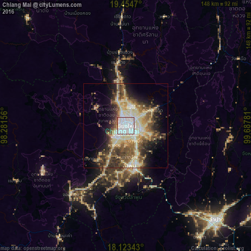
Analysis of Chiang Mai night lights 2016
Square area 10x10 km:
 77.48%
90-99
18.18%80-89
1.45%70-79
1.65%60-69
1.03%50-59
0.21%40-49
0%30-39
0%20-29
0%10-19
0%0-9
0%Square area 50x50 km:
5.14%90-99
7.5%80-89
6.9%70-79
3.31%60-69
3.77%50-59
5.51%40-49
6.91%30-39
5.3%20-29
5.99%10-19
8.72%0-9
40.94%Clear (daylight) street map image can be seen on geolist.org.
Map coordinates:
19° 27' 16.9" North, 98° 16' 53.6" East
18° 47' 25.4" North, 98° 59' 4.8" East
18° 7' 24.3" North, 99° 41' 16.1" East
Some cities around Chiang Mai sort by population:
• Lampang
77 km =47.8 mi,  135°
135°
• Lamphun
23.5 km =14.6 mi,  174°
174°
• San Kamphaeng
15.1 km =9.4 mi,  109°
109°
• Hang Dong
13.4 km =8.3 mi,  210°
210°
• San Pa Tong
20.3 km =12.6 mi, 207°
• Pa Sang
29.8 km =18.5 mi,  189°
189°
• Chom Thong
52.8 km =32.8 mi,  218°
218°
• Mae Tha
39.8 km =24.7 mi,  155°
155°
1153671 (p: 200,952)
Sources (retrieved 2019-11-25):
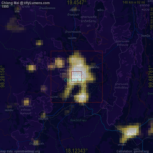
» NASA, Earths city lights 1995
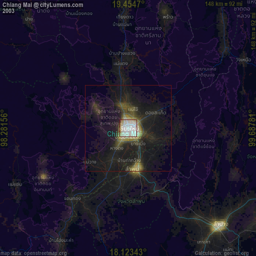
» NASA city lights 2003
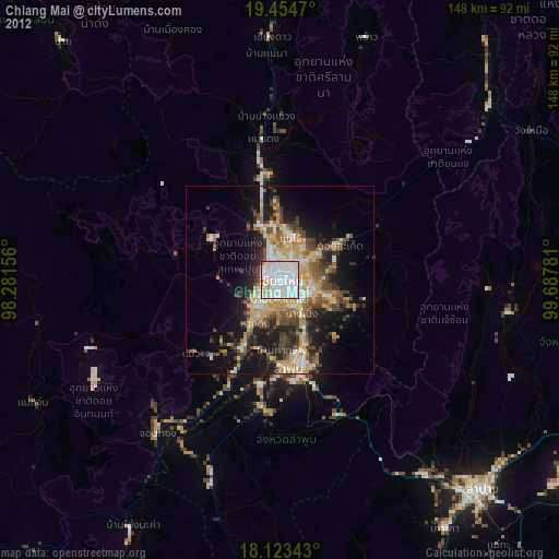
» Earth at Night: Flat Maps 2012, 2016