Lamphun night lights from space
Night Light of Lamphun from space (Thailand) Src. Average luminocity for 10x10km area is 74.5909% and for 50x50km: 29.8937%.
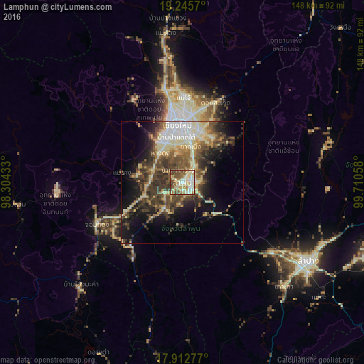
Analysis of Lamphun night lights 2016
Square area 10x10 km:
 6.82%
6.82%90-99
26.24%80-89
19.21%70-79
6.61%60-69
9.92%50-59
12.6%40-49
15.7%30-39
2.69%20-29
0.21%10-19
0%0-9
0%Square area 50x50 km:
3.46%90-99
5.34%80-89
5.87%70-79
3.02%60-69
3.35%50-59
4.47%40-49
7.38%30-39
6.55%20-29
6.34%10-19
11.22%0-9
43.01%Clear (daylight) street map image can be seen on geolist.org.
Map coordinates:
19° 14' 44.5" North, 98° 18' 15.6" East
18° 34' 49.9" North, 99° 0' 26.8" East
17° 54' 46" North, 99° 42' 38.1" East
Some cities around Lamphun sort by population:
• Chiang Mai
23.5 km =14.6 mi,  354°
354°
• Lampang
60.4 km =37.5 mi,  122°
122°
• San Kamphaeng
21.8 km =13.5 mi,  32°
32°
• Hang Dong
15 km =9.3 mi,  321°
321°
• San Pa Tong
12.9 km =8 mi,  294°
294°
• Pa Sang
9.4 km =5.8 mi,  229°
229°
• Chom Thong
39.5 km =24.5 mi,  242°
242°
• Mae Tha
19 km =11.8 mi,  132°
132°
1152468 (p: 43,196)
Sources (retrieved 2019-11-25):
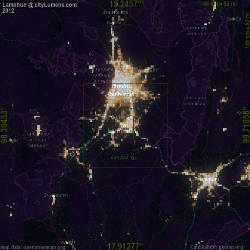
» Earth at Night: Flat Maps 2012, 2016