Ciudad Barrios night lights from space
Night Light of Ciudad Barrios (San Miguel) from space (El Salvador) Src. Average luminocity for 10x10km area is 1.7211% and for 50x50km: 0.3919%.
Analysis of Ciudad Barrios night lights 2016
Square area 10x10 km:
 0%
0%90-99
0%80-89
0.83%70-79
0%60-69
0%50-59
0%40-49
1.65%30-39
0%20-29
0%10-19
0%0-9
97.52%Square area 50x50 km:
0%90-99
0%80-89
0.08%70-79
0%60-69
0.12%50-59
0.08%40-49
0.12%30-39
0.08%20-29
0.12%10-19
0.13%0-9
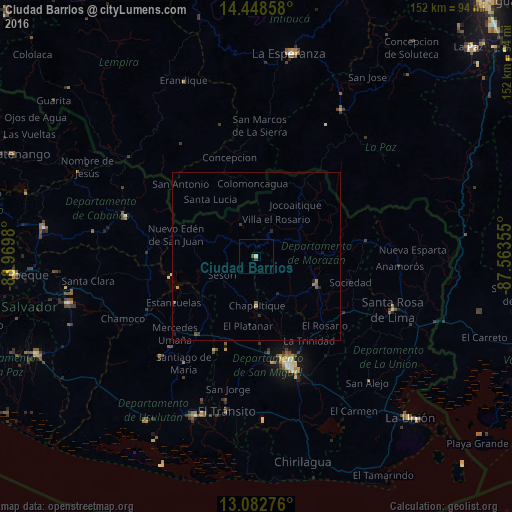
99.26%Clear (daylight) street map image can be seen on geolist.org.
Map coordinates:
14° 26' 54.9" North, 88° 58' 11.3" West
13° 46' 0" North, 88° 16' 0" West
13° 4' 57.9" North, 87° 33' 48.8" West
Some cities around Ciudad Barrios sort by population:
• San Miguel
32.8 km =20.4 mi,  164°
164°
• Sensuntepeque
41.1 km =25.5 mi,  285°
285°
• San Francisco
19.5 km =12.1 mi,  112°
112°
• Santiago de María
38.2 km =23.7 mi,  214°
214°
• Jucuapa
30.5 km =19 mi,  204°
204°
• Chinameca
31 km =19.3 mi, 196°
• Nueva Guadalupe
27.5 km =17.1 mi, 199°
• Guatajiagua
13.2 km =8.2 mi,  147°
147°
3586983 (p: 8,491)
Sources (retrieved 2019-11-25):
» Earth at Night: Flat Maps 2012, 2016