San Miguel night lights from space
Night Light of San Miguel from space (El Salvador) Src. Average luminocity for 10x10km area is 32.7562% and for 50x50km: 2.1832%.
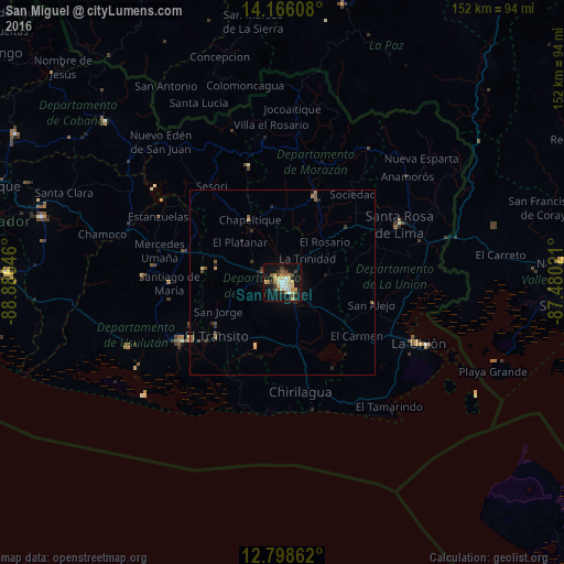

Analysis of San Miguel night lights 2016
Square area 10x10 km:
 2.27%
2.27%90-99
5.58%80-89
9.3%70-79
2.69%60-69
5.17%50-59
5.17%40-49
1.24%30-39
5.58%20-29
1.86%10-19
35.54%0-9
25.62%Square area 50x50 km:
0.09%90-99
0.22%80-89
0.45%70-79
0.17%60-69
0.34%50-59
0.51%40-49
0.19%30-39
0.4%20-29
0.37%10-19
1.75%0-9
95.49%Clear (daylight) street map image can be seen on geolist.org.
Map coordinates:
14° 9' 57.9" North, 88° 53' 11.3" West
13° 28' 60" North, 88° 10' 60" West
12° 47' 55" North, 87° 28' 48.8" West
Some cities around San Miguel sort by population:
• San Rafael Oriente
21.2 km =13.2 mi,  238°
238°
• San Francisco
25.7 km =16 mi,  20°
20°
• Jucuapa
21.9 km =13.6 mi,  279°
279°
• El Tránsito
23.3 km =14.5 mi,  230°
230°
• Chinameca
18.1 km =11.2 mi, 275°
• Nueva Guadalupe
18.9 km =11.7 mi,  287°
287°
• Guatajiagua
20.5 km =12.7 mi,  354°
354°
• San Alejo
24.5 km =15.2 mi,  103°
103°
3583446 (p: 161,880)
Sources (retrieved 2019-11-25):
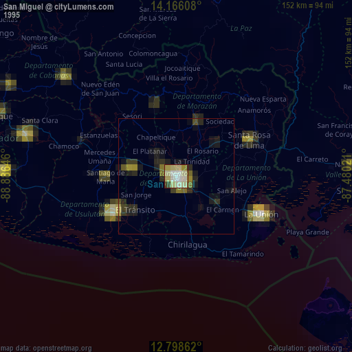
» NASA, Earths city lights 1995
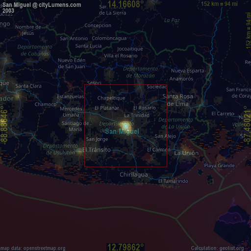
» NASA city lights 2003
» Earth at Night: Flat Maps 2012, 2016