Joal-Fadiout night lights from space
Night Light of Joal-Fadiout (Thiès) from space (Senegal) Src. Average luminocity for 10x10km area is 5.5887% and for 50x50km: 0.4909%.
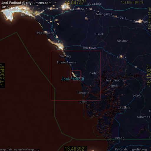
Analysis of Joal-Fadiout night lights 2016
Square area 10x10 km:
 0%
0%90-99
0%80-89
0%70-79
0.65%60-69
6.06%50-59
0.22%40-49
0%30-39
0.43%20-29
0.65%10-19
0.65%0-9
91.34%Square area 50x50 km:
0%90-99
0%80-89
0%70-79
0.03%60-69
0.26%50-59
0.05%40-49
0.16%30-39
0.13%20-29
0.09%10-19
0.2%0-9
99.09%Clear (daylight) street map image can be seen on geolist.org.
Map coordinates:
14° 50' 50.5" North, 17° 32' 11.3" West
14° 10' 0" North, 16° 49' 60" West
13° 29' 2.1" North, 16° 7' 48.8" West
Some cities around Joal-Fadiout sort by population:
• Pourham
49.3 km =30.6 mi,  65°
65°
• Nguékhokh
42.6 km =26.5 mi,  334°
334°
• Sokone
59.4 km =36.9 mi,  122°
122°
• Tiadiaye
31.3 km =19.4 mi,  27°
27°
• Gandiaye
61.5 km =38.2 mi,  83°
83°
• Diofior
18.1 km =11.2 mi, 84°
• Foundiougne
39.7 km =24.7 mi,  95°
95°
• Fatick
49.7 km =30.9 mi, 68°
2251084 (p: 36,735)
Sources (retrieved 2019-11-25):
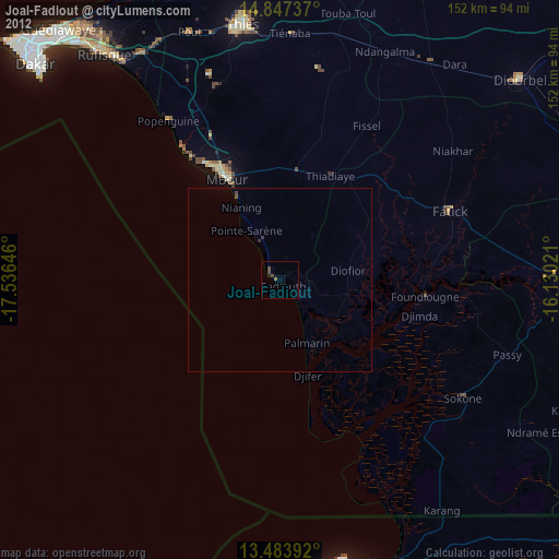
» Earth at Night: Flat Maps 2012, 2016