Kenema night lights from space
Night Light of Kenema (Eastern Province) from space (Sierra Leone) Src. Average luminocity for 10x10km area is 1.1715% and for 50x50km: 0.0477%.
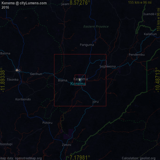
Analysis of Kenema night lights 2016
Square area 10x10 km:
 0%
0%90-99
0%80-89
0%70-79
0.62%60-69
0.21%50-59
0%40-49
0.41%30-39
0.41%20-29
0%10-19
1.65%0-9
96.69%Square area 50x50 km:
0%90-99
0%80-89
0%70-79
0.03%60-69
0.01%50-59
0%40-49
0.02%30-39
0.02%20-29
0%10-19
0.07%0-9
99.87%Clear (daylight) street map image can be seen on geolist.org.
Map coordinates:
8° 34' 21.9" North, 11° 53' 36.2" West
7° 52' 36.7" North, 11° 11' 24.9" West
7° 10' 47.3" North, 10° 29' 13.7" West
Some cities around Kenema sort by population:
• Segbwema
29.5 km =18.3 mi,  63°
63°
• Blama
17.1 km =10.6 mi,  269°
269°
• Panguma
34.8 km =21.6 mi,  10°
10°
• Barma
54.8 km =34.1 mi,  343°
343°
• Boajibu
38.3 km =23.8 mi,  334°
334°
• Bunumbu
48.8 km =30.3 mi,  47°
47°
• Daru
40.3 km =25 mi,  71°
71°
• Hangha
8.8 km =5.5 mi,  37°
37°
2407790 (p: 143,137)
Sources (retrieved 2019-11-25):
» NASA, Earths city lights 1995
» NASA city lights 2003
» Earth at Night: Flat Maps 2012, 2016