Partizánske night lights from space
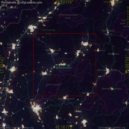
Night Light of Partizánske (Trenčiansky kraj) from space (Slovakia) Src. Average luminocity for 10x10km area is 8.0298% and for 50x50km: 2.0647%.

Analysis of Partizánske night lights 2016
Square area 10x10 km:
 1.04%
1.04%90-99
1.34%80-89
2.08%70-79
1.49%60-69
0%50-59
1.04%40-49
0.74%30-39
0.45%20-29
0.15%10-19
0%0-9
91.67%Square area 50x50 km:
0.15%90-99
0.34%80-89
0.28%70-79
0.26%60-69
0.23%50-59
0.28%40-49
0.37%30-39
0.27%20-29
0.18%10-19
0.36%0-9
97.27%Clear (daylight) street map image can be seen on geolist.org.
Map coordinates:
49° 5' 28.3" North, 17° 40' 53.1" East
48° 37' 43" North, 18° 23' 4.4" East
48° 9' 42.3" North, 19° 5' 15.6" East
Some cities around Partizánske sort by population:
• Prievidza
24.1 km =15 mi,  47°
47°
• Žiar nad Hronom
34.4 km =21.4 mi,  96°
96°
• Bánovce nad Bebravou
13.9 km =8.6 mi,  317°
317°
• Handlová
29.7 km =18.5 mi,  68°
68°
• Zlaté Moravce
27.1 km =16.8 mi,  177°
177°
• Nová Dubnica
38.3 km =23.8 mi,  332°
332°
• Nová Baňa
29.6 km =18.4 mi,  140°
140°
• Žarnovica
29.4 km =18.3 mi,  123°
123°
3058268 (p: 24,370)
Sources (retrieved 2019-11-25):
» Earth at Night: Flat Maps 2012, 2016