Tabor night lights from space
Night Light of Tabor from space (Slovenia) Src. Average luminocity for 10x10km area is 1.5551% and for 50x50km: 3.3174%.
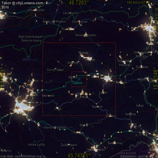
Analysis of Tabor night lights 2016
Square area 10x10 km:
100  0%
0%
90-99 0%
80-89 0%
70-79 0.6%
60-69 0%
50-59 0.89%
40-49 0.3%
30-39 0.6%
20-29 0%
10-19 0%
0-9 97.62%
0%90-99
0%80-89
0%70-79
0.6%60-69
0%50-59
0.89%40-49
0.3%30-39
0.6%20-29
0%10-19
0%0-9
97.62%Square area 50x50 km:
100 0.38%
90-99 0.53%
80-89 0.29%
70-79 0.29%
60-69 0.32%
50-59 0.57%
40-49 0.51%
30-39 0.47%
20-29 0.53%
10-19 1.91%
0-9 94.2%
0.38%90-99
0.53%80-89
0.29%70-79
0.29%60-69
0.32%50-59
0.57%40-49
0.51%30-39
0.47%20-29
0.53%10-19
1.91%0-9
94.2%Clear (daylight) street map image can be seen on geolist.org.
Map coordinates:
46° 43' 13.1" North, 14° 18' 54.8" East
46° 14' 10" North, 15° 1' 6" East
45° 44' 51.4" North, 15° 43' 17.3" East
Some cities around Tabor sort by population:
• Trbovlje
9.4 km =5.8 mi,  163°
163°
• Hrastnik
11.1 km =6.9 mi,  154°
154°
• Polzela
6.4 km =4 mi,  35°
35°
• Prebold
5.7 km =3.5 mi,  89°
89°
• Nazarje
10.6 km =6.6 mi,  328°
328°
• Vransko
5.2 km =3.2 mi,  279°
279°
• Šmartno ob Paki
10.9 km =6.8 mi,  6°
6°
• Braslovče
6.2 km =3.9 mi, 14°
3189227 (p: 406)
Sources (retrieved 2019-11-25):
» Earth at Night: Flat Maps 2012, 2016