Nazarje night lights from space
Night Light of Nazarje from space (Slovenia) Src. Average luminocity for 10x10km area is 3.0372% and for 50x50km: 3.0167%.
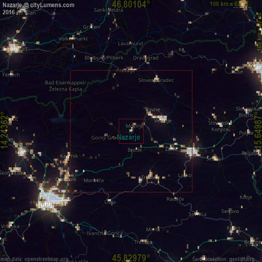
Analysis of Nazarje night lights 2016
Square area 10x10 km:
 0%
0%90-99
0%80-89
0.74%70-79
0.89%60-69
0.74%50-59
0.45%40-49
0.15%30-39
0.74%20-29
0.45%10-19
1.19%0-9
94.64%Square area 50x50 km:
0.23%90-99
0.46%80-89
0.25%70-79
0.29%60-69
0.3%50-59
0.51%40-49
0.55%30-39
0.49%20-29
0.49%10-19
1.49%0-9
94.94%Clear (daylight) street map image can be seen on geolist.org.
Map coordinates:
46° 48' 3.7" North, 14° 14' 37" East
46° 19' 3.3" North, 14° 56' 48.3" East
45° 49' 47.2" North, 15° 38' 59.5" East
Some cities around Nazarje sort by population:
• Šoštanj
10.5 km =6.5 mi,  48°
48°
• Polzela
10 km =6.2 mi,  112°
112°
• Mozirje
2.7 km =1.7 mi,  27°
27°
• Ljubno ob Savinji
9.1 km =5.7 mi,  288°
288°
• Vransko
8.2 km =5.1 mi,  177°
177°
• Šmartno ob Paki
6.9 km =4.3 mi,  75°
75°
• Rečica ob Savinji
2.3 km =1.4 mi,  267°
267°
• Braslovče
7.7 km =4.8 mi, 113°
8358612 (p: 872)
Sources (retrieved 2019-11-25):
» Earth at Night: Flat Maps 2012, 2016