Šalovci night lights from space
Night Light of Šalovci from space (Slovenia) Src. Average luminocity for 10x10km area is 1.2113% and for 50x50km: 2.1533%.
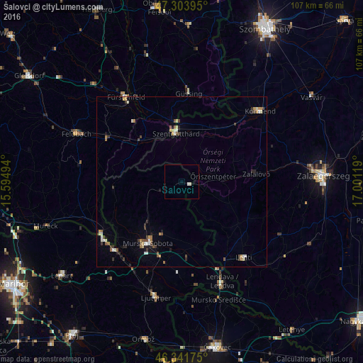
Analysis of Šalovci night lights 2016
Square area 10x10 km:
 0%
0%90-99
1.19%80-89
0%70-79
0%60-69
0%50-59
0%40-49
0%30-39
0%20-29
0%10-19
0%0-9
98.81%Square area 50x50 km:
0.14%90-99
0.46%80-89
0.21%70-79
0.25%60-69
0.24%50-59
0.28%40-49
0.37%30-39
0.41%20-29
0.33%10-19
0.33%0-9
96.98%Clear (daylight) street map image can be seen on geolist.org.
Map coordinates:
47° 18' 14.2" North, 15° 35' 41.8" East
46° 49' 30" North, 16° 17' 53" East
46° 20' 30.3" North, 17° 0' 4.3" East
Some cities around Šalovci sort by population:
• Szentgotthárd, HU
14.3 km =8.9 mi,  352°
352°
• Moravske Toplice
16.8 km =10.4 mi,  200°
200°
• Grad
15.3 km =9.5 mi,  259°
259°
• Puconci
17 km =10.6 mi,  219°
219°
• Kobilje
17.3 km =10.7 mi,  154°
154°
• Gornji Petrovci
6.2 km =3.9 mi,  249°
249°
• Kuzma
16.4 km =10.2 mi,  274°
274°
• Hodoš
2.8 km =1.7 mi,  93°
93°
3191329 (p: 426)
Sources (retrieved 2019-11-25):
» Earth at Night: Flat Maps 2012, 2016