Ljubljana night lights from space
Night Light of Ljubljana from space (Slovenia) Src. Average luminocity for 10x10km area is 67.706% and for 50x50km: 8.9119%.
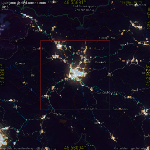
Analysis of Ljubljana night lights 2016
Square area 10x10 km:
 22.44%
90-99
22.02%80-89
5.54%70-79
3.98%60-69
2.7%50-59
7.39%40-49
5.11%30-39
9.38%20-29
17.76%10-19
3.55%0-9
0.14%Square area 50x50 km:
1.39%90-99
1.56%80-89
0.75%70-79
0.71%60-69
0.91%50-59
1.18%40-49
1.57%30-39
1.2%20-29
2.72%10-19
7.38%0-9
80.61%Clear (daylight) street map image can be seen on geolist.org.
Map coordinates:
46° 32' 12.9" North, 13° 48' 7.2" East
46° 3' 3.9" North, 14° 30' 18.5" East
45° 33' 39.4" North, 15° 12' 29.7" East
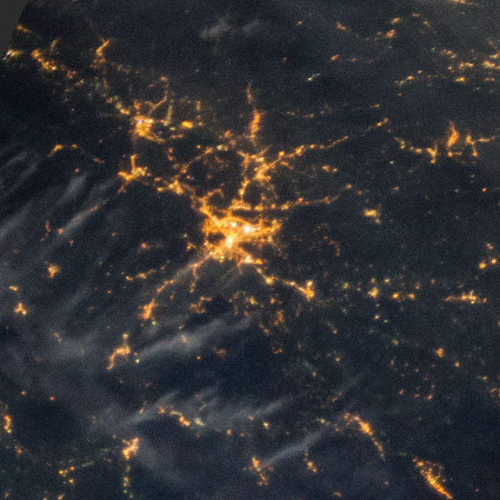
Fantastic image of Ljubljana from space taken by astronauts [src2], but I don't have information about it's orientation, scale or angle. If necessary, it was rotated manually, so North points approximately to upper direction. Click to zoom in:
Some cities around Ljubljana sort by population:
• Domžale
11.8 km =7.3 mi,  35°
35°
• Trzin
10.3 km =6.4 mi,  27°
27°
• Brezovica pri Ljubljani
8.4 km =5.2 mi,  256°
256°
• Ig
10.3 km =6.4 mi,  169°
169°
• Škofljica
9.3 km =5.8 mi,  143°
143°
• Log pri Brezovici
11.4 km =7.1 mi,  250°
250°
• Dobrova
8.8 km =5.5 mi,  266°
266°
• Dol pri Ljubljani
8.5 km =5.3 mi,  60°
60°
3196359 (p: 272,220)
Sources (retrieved 2019-11-25):
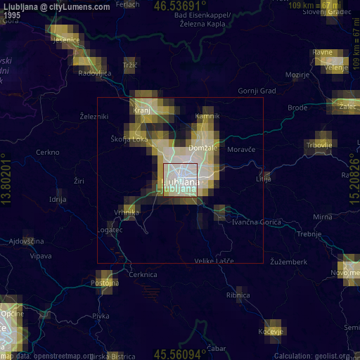
» NASA, Earths city lights 1995
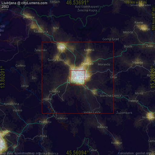
» NASA city lights 2003
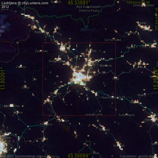
» Earth at Night: Flat Maps 2012, 2016
Src.2: NASA.gov ID: ISS037-E-16015, 2013-10-18