Katrineholm night lights from space
Night Light of Katrineholm (Södermanland) from space (Sweden) Src. Average luminocity for 10x10km area is 25.9968% and for 50x50km: 2.6805%.
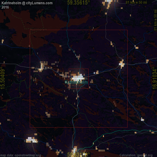
Analysis of Katrineholm night lights 2016
Square area 10x10 km:
 6.06%
6.06%90-99
6.06%80-89
1.3%70-79
1.3%60-69
0.54%50-59
2.92%40-49
4.65%30-39
2.27%20-29
1.84%10-19
38.42%0-9
34.63%Square area 50x50 km:
0.3%90-99
0.33%80-89
0.15%70-79
0.2%60-69
0.15%50-59
0.3%40-49
0.61%30-39
1.16%20-29
0.73%10-19
1.63%0-9
94.44%Clear (daylight) street map image can be seen on geolist.org.
Map coordinates:
59° 21' 22.1" North, 15° 30' 14.7" East
58° 59' 45.1" North, 16° 12' 26" East
58° 37' 54.4" North, 16° 54' 37.2" East
Some cities around Katrineholm sort by population:
• Norrköping
44.7 km =27.8 mi,  181°
181°
• Eskilstuna
44.6 km =27.7 mi,  22°
22°
• Finspång
41 km =25.5 mi,  218°
218°
• Arboga
49 km =30.4 mi,  334°
334°
• Åby
36.6 km =22.7 mi, 182°
• Flen
22.9 km =14.2 mi,  72°
72°
• Kungsör
47.8 km =29.7 mi,  352°
352°
• Krokek
37.1 km =23.1 mi,  165°
165°
2701223 (p: 23,283)
Sources (retrieved 2019-11-25):
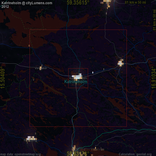
» Earth at Night: Flat Maps 2012, 2016