Eskilstuna night lights from space
Night Light of Eskilstuna (Södermanland) from space (Sweden) Src. Average luminocity for 10x10km area is 47.0173% and for 50x50km: 4.2645%.
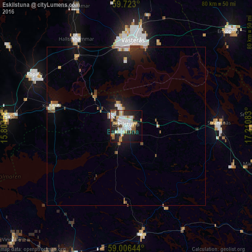
Analysis of Eskilstuna night lights 2016
Square area 10x10 km:
 12.01%
90-99
11.04%80-89
6.49%70-79
5.41%60-69
4.55%50-59
4.33%40-49
0.32%30-39
4.87%20-29
17.53%10-19
18.83%0-9
14.61%Square area 50x50 km:
0.66%90-99
0.76%80-89
0.46%70-79
0.45%60-69
0.44%50-59
0.52%40-49
0.16%30-39
0.48%20-29
1.65%10-19
3.32%0-9
91.1%Clear (daylight) street map image can be seen on geolist.org.
Map coordinates:
59° 43' 22.8" North, 15° 48' 16.5" East
59° 21' 59.8" North, 16° 30' 27.7" East
59° 0' 23.2" North, 17° 12' 39" East
Some cities around Eskilstuna sort by population:
• Västerås
27.9 km =17.3 mi,  5°
5°
• Köping
33.4 km =20.8 mi,  299°
299°
• Strängnäs
29.7 km =18.5 mi,  87°
87°
• Arboga
38 km =23.6 mi,  274°
274°
• Hallstahammar
31.7 km =19.7 mi,  330°
330°
• Torshälla
6 km =3.7 mi,  337°
337°
• Flen
34.6 km =21.5 mi,  172°
172°
• Kungsör
24.1 km =15 mi,  284°
284°
2715953 (p: 67,359)
Sources (retrieved 2019-11-25):
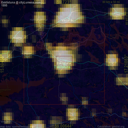
» NASA, Earths city lights 1995
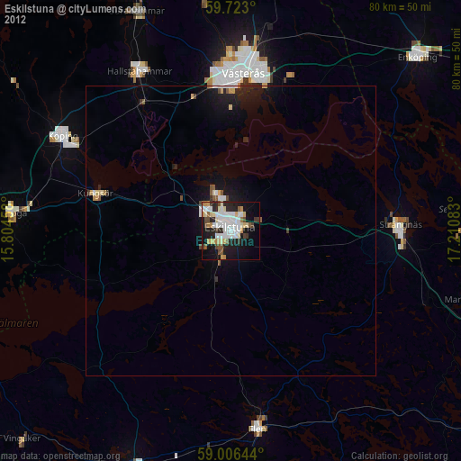
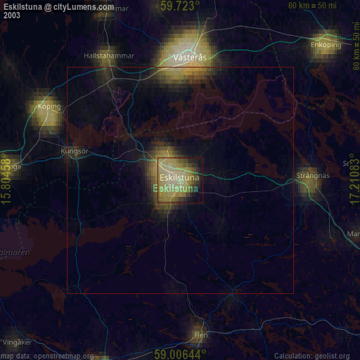
» NASA city lights 2003
» Earth at Night: Flat Maps 2012, 2016