Flen night lights from space
Night Light of Flen (Södermanland) from space (Sweden) Src. Average luminocity for 10x10km area is 7.1602% and for 50x50km: 1.7606%.
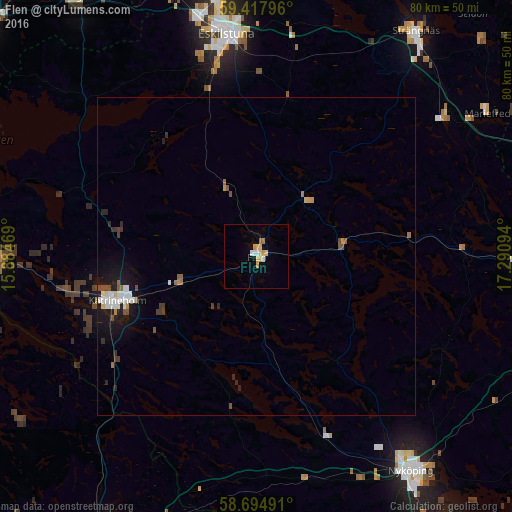
Analysis of Flen night lights 2016
Square area 10x10 km:
 0.76%
0.76%90-99
0.97%80-89
2.16%70-79
1.73%60-69
0.43%50-59
0.43%40-49
0%30-39
0%20-29
0%10-19
0.22%0-9
93.29%Square area 50x50 km:
0.29%90-99
0.3%80-89
0.15%70-79
0.19%60-69
0.14%50-59
0.27%40-49
0.18%30-39
0.23%20-29
0.29%10-19
1.41%0-9
96.55%Clear (daylight) street map image can be seen on geolist.org.
Map coordinates:
59° 25' 4.7" North, 15° 53' 4.9" East
59° 3' 30" North, 16° 35' 16.1" East
58° 41' 41.7" North, 17° 17' 27.4" East
Some cities around Flen sort by population:
• Eskilstuna
34.6 km =21.5 mi,  352°
352°
• Nyköping
41.6 km =25.8 mi,  144°
144°
• Katrineholm
22.9 km =14.2 mi,  252°
252°
• Strängnäs
43.5 km =27 mi,  35°
35°
• Torshälla
40.4 km =25.1 mi, 350°
• Kungsör
49.2 km =30.6 mi,  325°
325°
• Gnesta
41.4 km =25.7 mi,  91°
91°
• Krokek
44.8 km =27.8 mi,  196°
196°
2714401 (p: 6,594)
Sources (retrieved 2019-11-25):
» Earth at Night: Flat Maps 2012, 2016