Kirov night lights from space
Night Light of Kirov (Kaluga) from space (Russia) Src. Average luminocity for 10x10km area is 6.7588% and for 50x50km: 0.5726%.
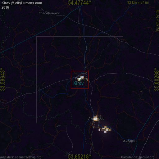
Analysis of Kirov night lights 2016
Square area 10x10 km:
 0.88%
0.88%90-99
1.26%80-89
0.38%70-79
1.01%60-69
1.01%50-59
1.01%40-49
1.01%30-39
0.63%20-29
0.88%10-19
0%0-9
91.92%Square area 50x50 km:
0.07%90-99
0.08%80-89
0.04%70-79
0.08%60-69
0.06%50-59
0.08%40-49
0.12%30-39
0.11%20-29
0.07%10-19
0.12%0-9
99.18%Clear (daylight) street map image can be seen on geolist.org.
Map coordinates:
54° 28' 38.8" North, 33° 35' 47.1" East
54° 4' 0.7" North, 34° 17' 58.4" East
53° 39' 7.8" North, 35° 0' 9.6" East
Some cities around Kirov sort by population:
• Lyudinovo
24.3 km =15.1 mi,  156°
156°
• Dyat’kovo
52.2 km =32.4 mi,  177°
177°
• Dubrovka
66.7 km =41.4 mi,  231°
231°
• Duminichi
55 km =34.2 mi,  105°
105°
• Ivot
44.1 km =27.4 mi,  189°
189°
• Zhizdra
45.9 km =28.5 mi,  141°
141°
• Lyubokhna
62.9 km =39.1 mi,  174°
174°
• Spas-Demensk
42.4 km =26.3 mi,  334°
334°
548410 (p: 39,319)
Sources (retrieved 2019-11-25):
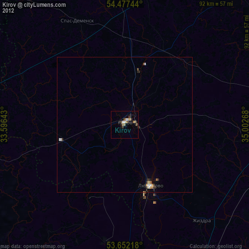
» Earth at Night: Flat Maps 2012, 2016