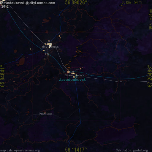
Zavodoukovsk night lights from space
Night Light of Zavodoukovsk (Tyumen’ Oblast) from space (Russia) Src. Average luminocity for 10x10km area is 5.3705% and for 50x50km: 0.8225%.
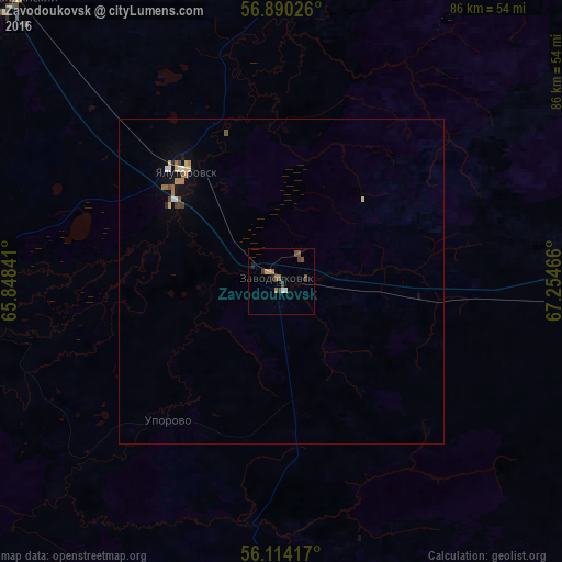
Analysis of Zavodoukovsk night lights 2016
Square area 10x10 km:
 0.45%
0.45%90-99
0.45%80-89
0.23%70-79
0.8%60-69
0.68%50-59
1.93%40-49
1.82%30-39
0.68%20-29
1.02%10-19
0.11%0-9
91.82%Square area 50x50 km:
0.08%90-99
0.08%80-89
0.12%70-79
0.09%60-69
0.18%50-59
0.13%40-49
0.18%30-39
0.04%20-29
0.09%10-19
0.29%0-9
98.72%Clear (daylight) street map image can be seen on geolist.org.
Map coordinates:
56° 53' 24.9" North, 65° 50' 54.3" East
56° 30' 15.1" North, 66° 33' 5.5" East
56° 6' 51" North, 67° 15' 16.8" East
Some cities around Zavodoukovsk sort by population:
• Yalutorovsk
22.6 km =14 mi,  317°
317°
• Borovskiy
78.3 km =48.7 mi, 319°
• Vinzili
69.5 km =43.2 mi, 316°
• Omutinskiy
68.8 km =42.8 mi,  92°
92°
• Bogandinskiy
59.1 km =36.7 mi, 317°
• Isetskoye
75.5 km =46.9 mi,  268°
268°
• Uporovo
27.6 km =17.1 mi,  218°
218°
• Antipino
82.6 km =51.3 mi, 324°
1485357 (p: 25,682)
Sources (retrieved 2019-11-25):
» Earth at Night: Flat Maps 2012, 2016