Omutinskiy night lights from space
Night Light of Omutinskiy (Tyumen’ Oblast) from space (Russia) Src. Average luminocity for 10x10km area is 6.2159% and for 50x50km: 0.2903%.
Analysis of Omutinskiy night lights 2016
Square area 10x10 km:
 0.45%
0.45%90-99
0.91%80-89
0.91%70-79
0.68%60-69
1.59%50-59
1.48%40-49
0.8%30-39
0%20-29
0.23%10-19
0.23%0-9
92.73%Square area 50x50 km:
0.02%90-99
0.04%80-89
0.04%70-79
0.03%60-69
0.1%50-59
0.07%40-49
0.03%30-39
0%20-29
0.01%10-19
0.01%0-9
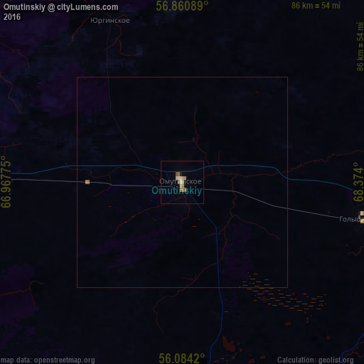
99.66%Clear (daylight) street map image can be seen on geolist.org.
Map coordinates:
56° 51' 39.2" North, 66° 58' 3.9" East
56° 28' 28.3" North, 67° 40' 15.1" East
56° 5' 3.1" North, 68° 22' 26.4" East
Some cities around Omutinskiy sort by population:
• Ishim
119.2 km =74.1 mi,  109°
109°
• Yalutorovsk
86.3 km =53.6 mi,  283°
283°
• Zavodoukovsk
68.8 km =42.8 mi,  272°
272°
• Golyshmanovo
44 km =27.3 mi,  101°
101°
• Bogandinskiy
118.1 km =73.4 mi,  293°
293°
• Yarkovo
109.7 km =68.2 mi,  340°
340°
• Aromashevo
73 km =45.4 mi,  54°
54°
• Uporovo
88.2 km =54.8 mi,  258°
258°
1496142 (p: 9,595)
Sources (retrieved 2019-11-25):
» Earth at Night: Flat Maps 2012, 2016