Yelizovo night lights from space
Night Light of Yelizovo (Kamchatka) from space (Russia) Src. Average luminocity for 10x10km area is 16.5088% and for 50x50km: 3.8896%.
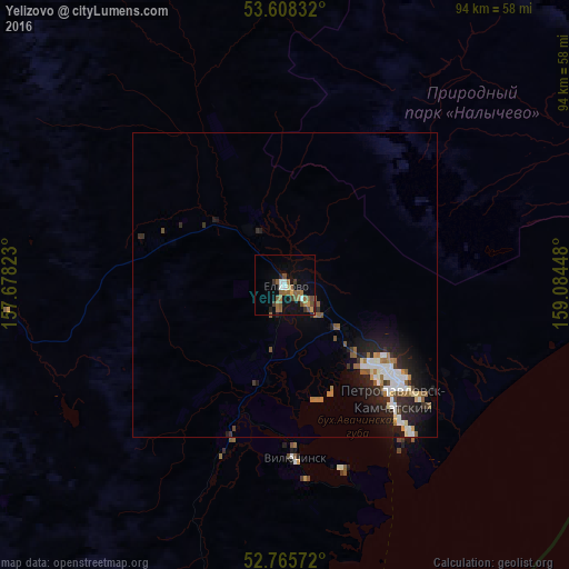
Analysis of Yelizovo night lights 2016
Square area 10x10 km:
 1.14%
1.14%90-99
1.39%80-89
0.76%70-79
1.52%60-69
4.17%50-59
6.31%40-49
2.9%30-39
2.27%20-29
1.64%10-19
10.35%0-9
67.55%Square area 50x50 km:
0.64%90-99
0.66%80-89
0.21%70-79
0.22%60-69
0.66%50-59
0.75%40-49
0.37%30-39
0.43%20-29
1.26%10-19
2.97%0-9
91.85%Clear (daylight) street map image can be seen on geolist.org.
Map coordinates:
53° 36' 30" North, 157° 40' 41.6" East
53° 11' 20.7" North, 158° 22' 52.9" East
52° 45' 56.6" North, 159° 5' 4.1" East
Some cities around Yelizovo sort by population:
• Petropavlovsk-Kamchatsky
24.1 km =15 mi,  131°
131°
• Magadan
847.4 km =526.5 mi,  326°
326°
• Okha
1022 km =635 mi,  272°
272°
• Vilyuchinsk
28.7 km =17.8 mi,  176°
176°
• Nogliki
1041.3 km =647 mi,  261°
261°
• Klyuchi
382.3 km =237.6 mi,  24°
24°
• Mil’kovo
168.3 km =104.6 mi,  5°
5°
• Ola
832.5 km =517.3 mi, 328°
2119538 (p: 40,692)
Sources (retrieved 2019-11-25):
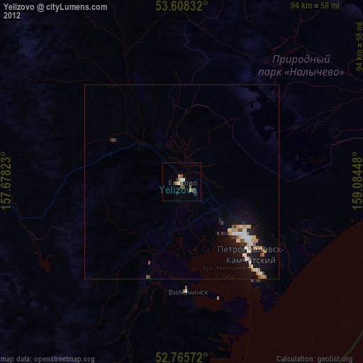
» Earth at Night: Flat Maps 2012, 2016