Petropavlovsk-Kamchatsky night lights from space
Night Light of Petropavlovsk-Kamchatsky (Kamchatka) from space (Russia) Src. Average luminocity for 10x10km area is 49.2778% and for 50x50km: 4.218%.
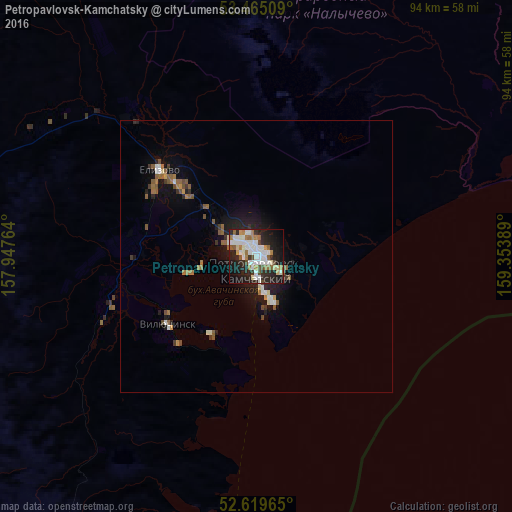
Analysis of Petropavlovsk-Kamchatsky night lights 2016
Square area 10x10 km:
 13.36%
90-99
12.96%80-89
3.04%70-79
2.91%60-69
7.67%50-59
4.37%40-49
3.97%30-39
2.91%20-29
19.84%10-19
22.35%0-9
6.61%Square area 50x50 km:
0.66%90-99
0.71%80-89
0.23%70-79
0.25%60-69
0.69%50-59
0.84%40-49
0.44%30-39
0.42%20-29
1.27%10-19
3.08%0-9
91.4%Clear (daylight) street map image can be seen on geolist.org.
Map coordinates:
53° 27' 54.3" North, 157° 56' 51.5" East
53° 2' 40" North, 158° 39' 2.7" East
52° 37' 10.7" North, 159° 21' 14" East
Some cities around Petropavlovsk-Kamchatsky sort by population:
• Magadan
870.4 km =540.8 mi,  326°
326°
• Yelizovo
24.1 km =15 mi,  311°
311°
• Okha
1042.3 km =647.7 mi,  273°
273°
• Vilyuchinsk
20.7 km =12.9 mi,  232°
232°
• Nogliki
1058.8 km =657.9 mi,  262°
262°
• Klyuchi
390.6 km =242.7 mi,  21°
21°
• Mil’kovo
183.7 km =114.1 mi,  359°
359°
• Ola
855.3 km =531.5 mi, 328°
2122104 (p: 187,282)
Sources (retrieved 2019-11-25):
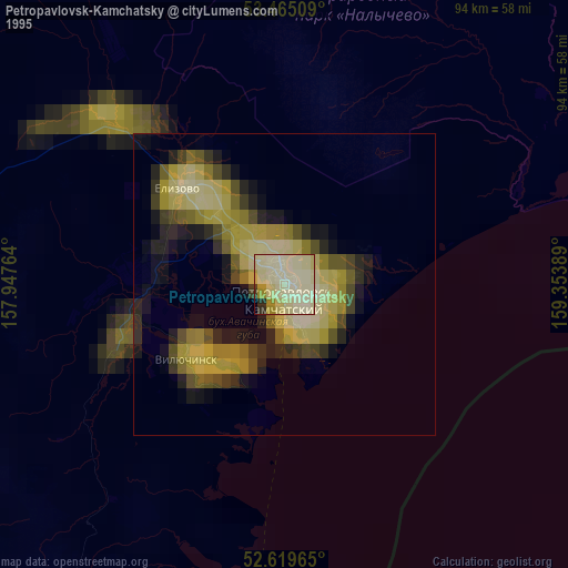
» NASA, Earths city lights 1995
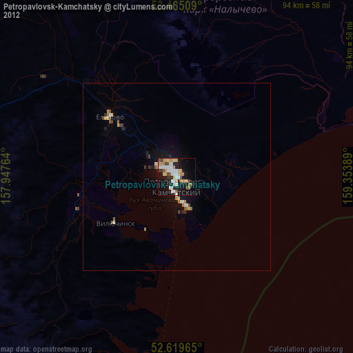
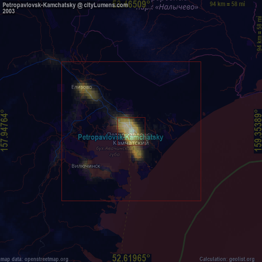
» NASA city lights 2003
» Earth at Night: Flat Maps 2012, 2016