Vyksa night lights from space
Night Light of Vyksa (Nizhny Novgorod Oblast) from space (Russia) Src. Average luminocity for 10x10km area is 27.317% and for 50x50km: 2.5204%.
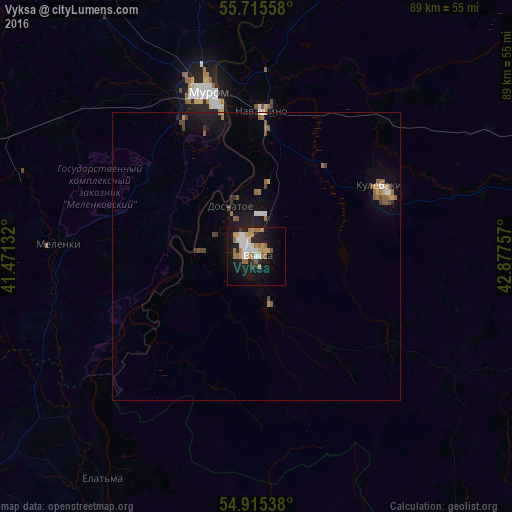
Analysis of Vyksa night lights 2016
Square area 10x10 km:
 4.9%
4.9%90-99
4.67%80-89
1.79%70-79
4.67%60-69
7.42%50-59
2.15%40-49
0.24%30-39
1.91%20-29
4.07%10-19
26.44%0-9
41.75%Square area 50x50 km:
0.26%90-99
0.3%80-89
0.12%70-79
0.32%60-69
0.58%50-59
0.42%40-49
0.36%30-39
0.22%20-29
0.28%10-19
2.39%0-9
94.75%Clear (daylight) street map image can be seen on geolist.org.
Map coordinates:
55° 42' 56.1" North, 41° 28' 16.8" East
55° 19' 3" North, 42° 10' 28" East
54° 54' 55.4" North, 42° 52' 39.3" East
Some cities around Vyksa sort by population:
• Murom
29.8 km =18.5 mi,  343°
343°
• Kulebaki
25 km =15.5 mi,  64°
64°
• Melenki
34.5 km =21.4 mi,  273°
273°
• Navashino
25.2 km =15.7 mi,  3°
3°
• Ardatov
59 km =36.7 mi,  98°
98°
• Voznesenskoye
60.3 km =37.5 mi,  142°
142°
• Gremyachevo
54.5 km =33.9 mi,  81°
81°
• Doschatoye
9.1 km =5.7 mi,  330°
330°
470444 (p: 61,664)
Sources (retrieved 2019-11-25):
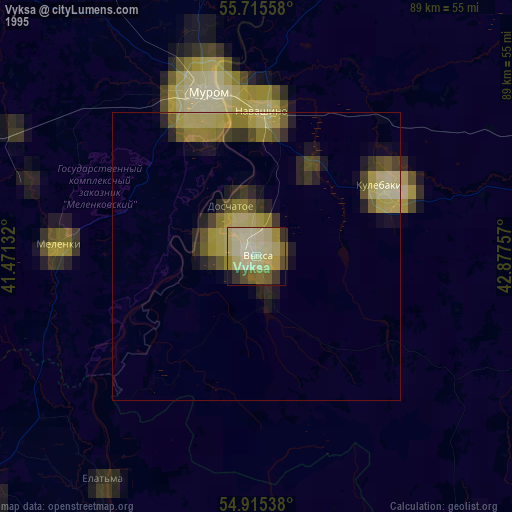
» NASA, Earths city lights 1995
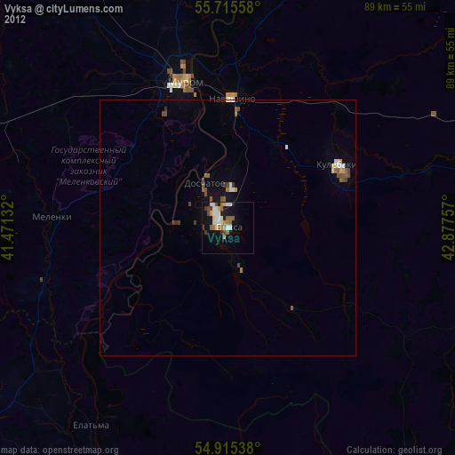
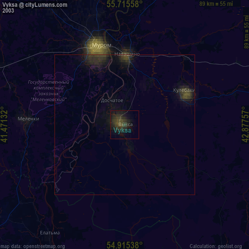
» NASA city lights 2003
» Earth at Night: Flat Maps 2012, 2016