Vrangel’ night lights from space
Night Light of Vrangel’ (Primorskiy (Maritime) Kray) from space (Russia) Src. Average luminocity for 10x10km area is 24.0091% and for 50x50km: 4.3655%.
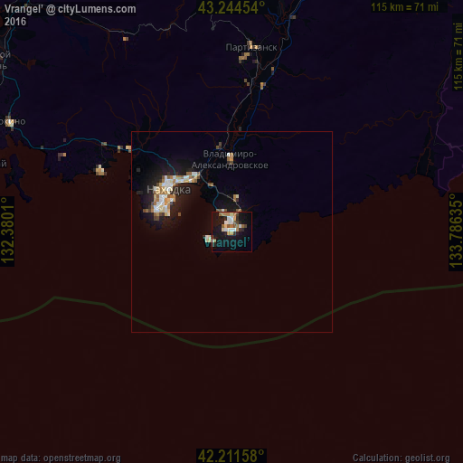
Analysis of Vrangel’ night lights 2016
Square area 10x10 km:
 3.79%
3.79%90-99
3.18%80-89
2.27%70-79
1.97%60-69
5.61%50-59
2.58%40-49
2.88%30-39
1.97%20-29
5.15%10-19
26.82%0-9
43.79%Square area 50x50 km:
0.49%90-99
0.8%80-89
0.55%70-79
0.36%60-69
0.68%50-59
0.52%40-49
0.46%30-39
0.26%20-29
1.01%10-19
4.37%0-9
90.48%Clear (daylight) street map image can be seen on geolist.org.
Map coordinates:
43° 14' 40.3" North, 132° 22' 48.4" East
42° 43' 48.8" North, 133° 4' 59.6" East
42° 12' 41.7" North, 133° 47' 10.9" East
Some cities around Vrangel’ sort by population:
• Nakhodka
19.5 km =12.1 mi,  298°
298°
• Partizansk
43.6 km =27.1 mi,  4°
4°
• Fokino
61.5 km =38.2 mi, 296°
• Livadiya
36.8 km =22.9 mi,  294°
294°
• Preobrazheniye
69.6 km =43.2 mi,  74°
74°
• Dunay
63.2 km =39.3 mi, 285°
• Uglekamensk
55.8 km =34.7 mi,  12°
12°
• Vladimiro-Aleksandrovskoye
17.9 km =11.1 mi,  358°
358°
2013258 (p: 20,000)
Sources (retrieved 2019-11-25):
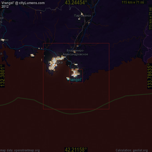
» Earth at Night: Flat Maps 2012, 2016