Fokino night lights from space
Night Light of Fokino (Primorskiy (Maritime) Kray) from space (Russia) Src. Average luminocity for 10x10km area is 4.7651% and for 50x50km: 1.1259%.
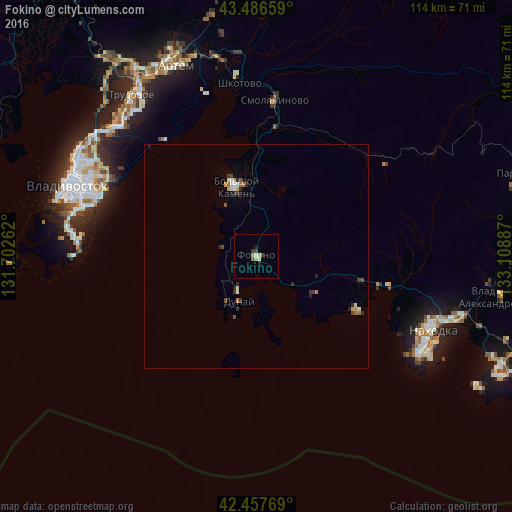
Analysis of Fokino night lights 2016
Square area 10x10 km:
 0.16%
0.16%90-99
1.11%80-89
0.63%70-79
0.63%60-69
0.63%50-59
0.63%40-49
0.63%30-39
0.95%20-29
0.95%10-19
0.63%0-9
93.02%Square area 50x50 km:
0.06%90-99
0.22%80-89
0.15%70-79
0.11%60-69
0.17%50-59
0.1%40-49
0.18%30-39
0.23%20-29
0.35%10-19
0.12%0-9
98.31%Clear (daylight) street map image can be seen on geolist.org.
Map coordinates:
43° 29' 11.7" North, 131° 42' 9.4" East
42° 58' 27.4" North, 132° 24' 20.7" East
42° 27' 27.7" North, 133° 6' 31.9" East
Some cities around Fokino sort by population:
• Nakhodka
42.1 km =26.2 mi,  115°
115°
• Bol’shoy Kamen’
16 km =9.9 mi,  344°
344°
• Trudovoye
45.2 km =28.1 mi,  322°
322°
• Livadiya
24.8 km =15.4 mi, 118°
• Dunay
12.1 km =7.5 mi,  208°
208°
• Smolyaninovo
35.1 km =21.8 mi,  6°
6°
• Shkotovo
38.8 km =24.1 mi,  353°
353°
• Russkiy
44.7 km =27.8 mi,  276°
276°
2015310 (p: 25,827)
Sources (retrieved 2019-11-25):
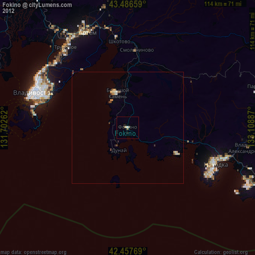
» Earth at Night: Flat Maps 2012, 2016