Partizansk night lights from space
Night Light of Partizansk (Primorskiy (Maritime) Kray) from space (Russia) Src. Average luminocity for 10x10km area is 5.2939% and for 50x50km: 0.4332%.
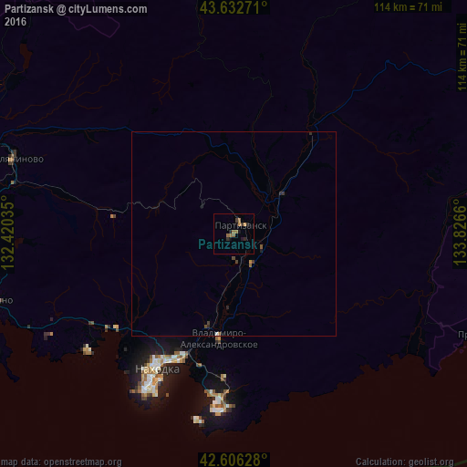
Analysis of Partizansk night lights 2016
Square area 10x10 km:
 0%
0%90-99
0%80-89
0%70-79
1.21%60-69
2.42%50-59
1.21%40-49
0.15%30-39
1.82%20-29
1.21%10-19
2.27%0-9
89.7%Square area 50x50 km:
0%90-99
0.03%80-89
0%70-79
0.06%60-69
0.14%50-59
0.11%40-49
0.08%30-39
0.15%20-29
0.16%10-19
0.11%0-9
99.17%Clear (daylight) street map image can be seen on geolist.org.
Map coordinates:
43° 37' 57.8" North, 132° 25' 13.3" East
43° 7' 17.9" North, 133° 7' 24.5" East
42° 36' 22.6" North, 133° 49' 35.8" East
Some cities around Partizansk sort by population:
• Nakhodka
39.8 km =24.7 mi,  210°
210°
• Fokino
60.6 km =37.7 mi,  254°
254°
• Vrangel’
43.6 km =27.1 mi,  184°
184°
• Livadiya
46.2 km =28.7 mi,  232°
232°
• Uglekamensk
14 km =8.7 mi,  38°
38°
• Smolyaninovo
57.2 km =35.5 mi,  288°
288°
• Vladimiro-Aleksandrovskoye
25.9 km =16.1 mi,  188°
188°
• Sergeyevka
31.7 km =19.7 mi, 37°
2018116 (p: 42,489)
Sources (retrieved 2019-11-25):
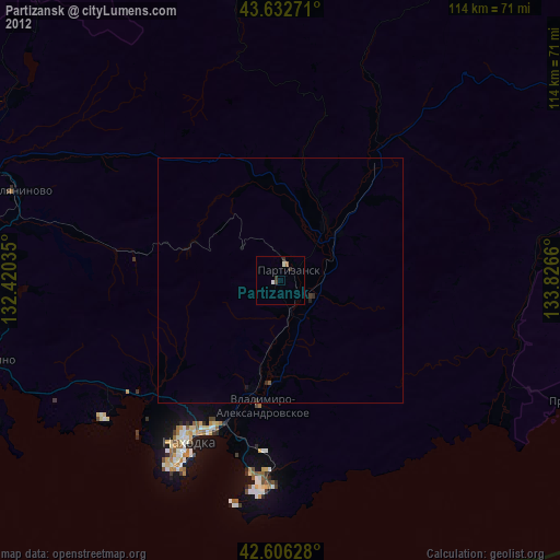
» Earth at Night: Flat Maps 2012, 2016