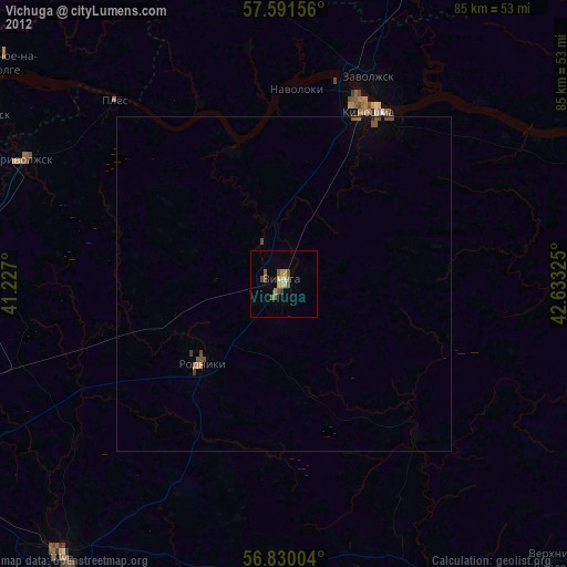
Vichuga night lights from space
Night Light of Vichuga (Ivanovo) from space (Russia) Src. Average luminocity for 10x10km area is 7.4881% and for 50x50km: 1.1384%.
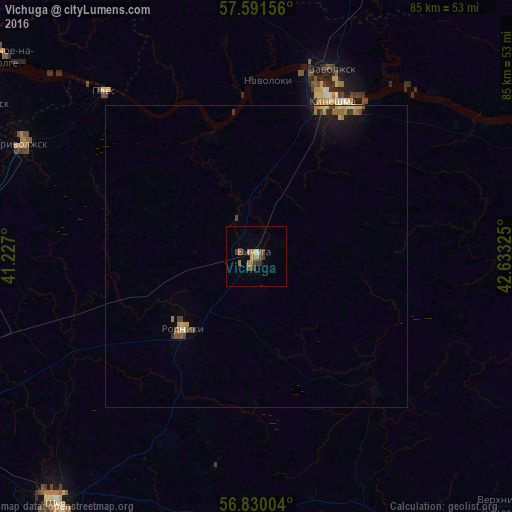
Analysis of Vichuga night lights 2016
Square area 10x10 km:
 0.36%
0.36%90-99
0.12%80-89
0.48%70-79
1.07%60-69
2.74%50-59
1.07%40-49
2.26%30-39
2.5%20-29
0.36%10-19
0%0-9
89.05%Square area 50x50 km:
0.01%90-99
0.06%80-89
0.17%70-79
0.19%60-69
0.33%50-59
0.09%40-49
0.27%30-39
0.23%20-29
0.11%10-19
0.69%0-9
97.83%Clear (daylight) street map image can be seen on geolist.org.
Map coordinates:
57° 35' 29.6" North, 41° 13' 37.2" East
57° 12' 45.9" North, 41° 55' 48.4" East
56° 49' 48.1" North, 42° 37' 59.7" East
Some cities around Vichuga sort by population:
• Kineshma
27.9 km =17.3 mi,  25°
25°
• Furmanov
49.7 km =30.9 mi,  275°
275°
• Rodniki
17 km =10.6 mi,  225°
225°
• Privolzhsk
43.2 km =26.8 mi,  296°
296°
• Zavolzhsk
32.5 km =20.2 mi,  22°
22°
• Navoloki
28.2 km =17.5 mi,  4°
4°
• Palekh
45.8 km =28.5 mi,  185°
185°
• Staraya Vichuga
6.9 km =4.3 mi,  333°
333°
473788 (p: 39,071)
Sources (retrieved 2019-11-25):
» Earth at Night: Flat Maps 2012, 2016