Verkhotur’ye night lights from space
Night Light of Verkhotur’ye (Sverdlovsk) from space (Russia) Src. Average luminocity for 10x10km area is 0.2948% and for 50x50km: 0.0114%.
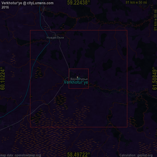
Analysis of Verkhotur’ye night lights 2016
Square area 10x10 km:
 0%
0%90-99
0%80-89
0%70-79
0%60-69
0%50-59
0%40-49
0.45%30-39
0%20-29
0%10-19
0%0-9
99.55%Square area 50x50 km:
0%90-99
0%80-89
0%70-79
0%60-69
0%50-59
0%40-49
0.02%30-39
0%20-29
0%10-19
0%0-9
99.98%Clear (daylight) street map image can be seen on geolist.org.
Map coordinates:
59° 13' 27.8" North, 60° 6' 8.1" East
58° 51' 45.8" North, 60° 48' 19.3" East
58° 29' 50" North, 61° 30' 30.6" East
Some cities around Verkhotur’ye sort by population:
• Kachkanar
78.3 km =48.7 mi,  256°
256°
• Krasnoural’sk
71 km =44.1 mi,  218°
218°
• Lesnoy
63.1 km =39.2 mi,  246°
246°
• Nizhnyaya Tura
62.9 km =39.1 mi, 245°
• Novaya Lyalya
24.4 km =15.2 mi,  331°
331°
• Sos’va
69.5 km =43.2 mi,  59°
59°
• Lobva
39.5 km =24.5 mi,  335°
335°
• Vostochnyy
58.5 km =36.4 mi,  96°
96°
1487219 (p: 8,500)
Sources (retrieved 2019-11-25):
» Earth at Night: Flat Maps 2012, 2016