Kurgan night lights from space
Night Light of Kurgan (Kurgan Oblast) from space (Russia) Src. Average luminocity for 10x10km area is 69.4737% and for 50x50km: 4.3498%.
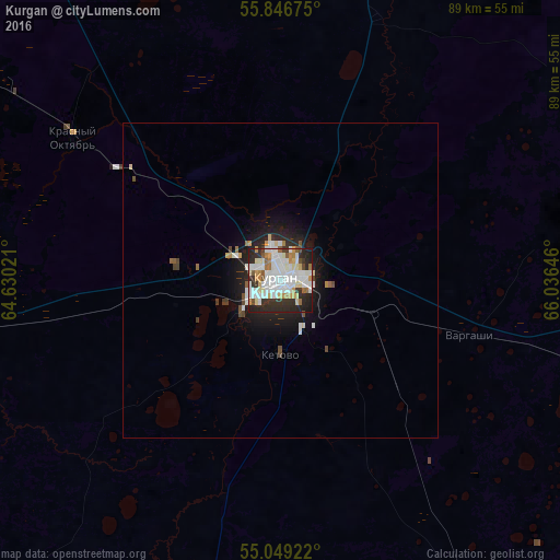
Analysis of Kurgan night lights 2016
Square area 10x10 km:
 21.3%
21.3%90-99
24.44%80-89
6.64%70-79
6.39%60-69
4.64%50-59
4.51%40-49
1.88%30-39
7.39%20-29
19.17%10-19
3.63%0-9
0%Square area 50x50 km:
1%90-99
1.13%80-89
0.36%70-79
0.36%60-69
0.28%50-59
0.32%40-49
0.36%30-39
0.43%20-29
1.45%10-19
2.88%0-9
91.42%Clear (daylight) street map image can be seen on geolist.org.
Map coordinates:
55° 50' 48.3" North, 64° 37' 48.8" East
55° 27' 0" North, 65° 19' 60" East
55° 2' 57.2" North, 66° 2' 11.3" East
Some cities around Kurgan sort by population:
• Kurtamysh
82.9 km =51.5 mi,  223°
223°
• Vargashi
34.1 km =21.2 mi,  107°
107°
• Yurgamysh
55.6 km =34.5 mi,  261°
261°
• Ketovo
10.6 km =6.6 mi,  182°
182°
• Lebyazh’ye
76.1 km =47.3 mi, 105°
• Lesnikovo
18.7 km =11.6 mi, 183°
• Ikovka
30.5 km =19 mi,  305°
305°
• Polovinnoye
84.2 km =52.3 mi,  150°
150°
1501321 (p: 343,129)
Sources (retrieved 2019-11-25):
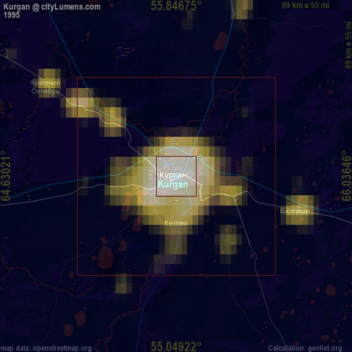
» NASA, Earths city lights 1995
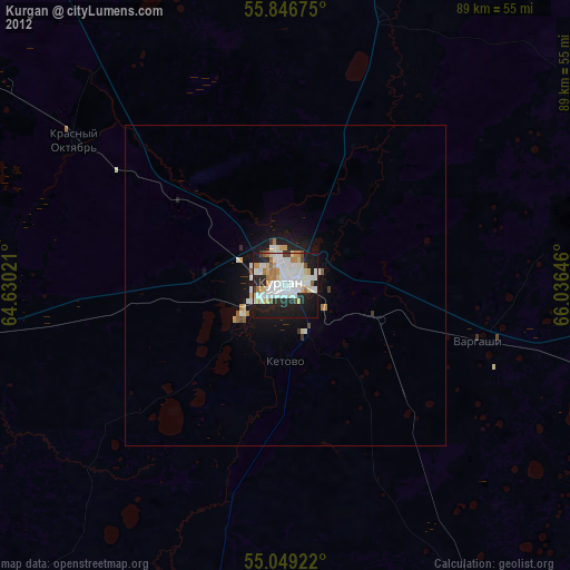
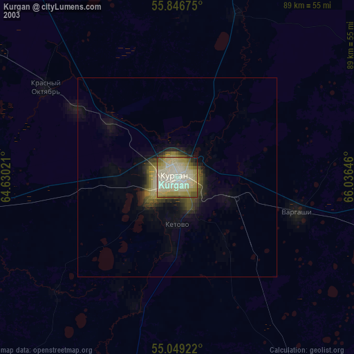
» NASA city lights 2003
» Earth at Night: Flat Maps 2012, 2016