Uvarovo night lights from space
Night Light of Uvarovo (Tambov) from space (Russia) Src. Average luminocity for 10x10km area is 1.4091% and for 50x50km: 0.0588%.
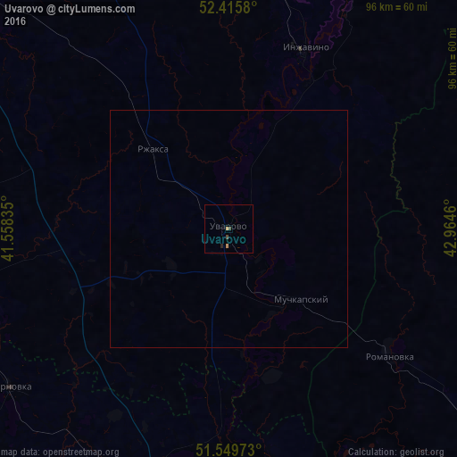
Analysis of Uvarovo night lights 2016
Square area 10x10 km:
 0%
0%90-99
0%80-89
0%70-79
1.01%60-69
0%50-59
0%40-49
1.01%30-39
0%20-29
0.51%10-19
0%0-9
97.47%Square area 50x50 km:
0%90-99
0%80-89
0%70-79
0.04%60-69
0%50-59
0%40-49
0.04%30-39
0%20-29
0.02%10-19
0%0-9
99.89%Clear (daylight) street map image can be seen on geolist.org.
Map coordinates:
52° 24' 56.9" North, 41° 33' 30.1" East
51° 59' 5.5" North, 42° 15' 41.3" East
51° 32' 59" North, 42° 57' 52.6" East
Some cities around Uvarovo sort by population:
• Borisoglebsk
69.8 km =43.4 mi,  190°
190°
• Gribanovskiy
61.8 km =38.4 mi,  198°
198°
• Zherdevka
57 km =35.4 mi,  254°
254°
• Inzhavino
40.3 km =25 mi,  23°
23°
• Muchkapskiy
20.7 km =12.9 mi,  135°
135°
• Romanovka
43 km =26.7 mi,  128°
128°
• Turki
69.3 km =43.1 mi,  89°
89°
• Rzhaksa
23.1 km =14.4 mi,  315°
315°
477626 (p: 28,771)
Sources (retrieved 2019-11-25):
» Earth at Night: Flat Maps 2012, 2016