Inzhavino night lights from space
Night Light of Inzhavino (Tambov) from space (Russia) Src. Average luminocity for 10x10km area is 0.2563% and for 50x50km: 0.0107%.
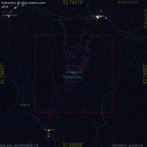
Analysis of Inzhavino night lights 2016
Square area 10x10 km:
 0%
0%90-99
0%80-89
0%70-79
0%60-69
0%50-59
0%40-49
0%30-39
0.51%20-29
0%10-19
0.51%0-9
98.99%Square area 50x50 km:
0%90-99
0%80-89
0%70-79
0%60-69
0%50-59
0%40-49
0%30-39
0.02%20-29
0%10-19
0.02%0-9
99.96%Clear (daylight) street map image can be seen on geolist.org.
Map coordinates:
52° 44' 46.3" North, 41° 47' 26.1" East
52° 19' 6.5" North, 42° 29' 37.3" East
51° 53' 11.7" North, 43° 11' 48.6" East
Some cities around Inzhavino sort by population:
• Rasskazovo
55.8 km =34.7 mi,  312°
312°
• Uvarovo
40.3 km =25 mi,  203°
203°
• Kirsanov
40.5 km =25.2 mi,  22°
22°
• Tamala
57 km =35.4 mi,  64°
64°
• Muchkapskiy
52 km =32.3 mi,  181°
181°
• Romanovka
66.3 km =41.2 mi,  164°
164°
• Turki
64.7 km =40.2 mi,  124°
124°
• Rzhaksa
37.9 km =23.5 mi,  237°
237°
556275 (p: 10,278)
Sources (retrieved 2019-11-25):
» Earth at Night: Flat Maps 2012, 2016