Uryupinsk night lights from space
Night Light of Uryupinsk (Volgograd Oblast) from space (Russia) Src. Average luminocity for 10x10km area is 5.4048% and for 50x50km: 0.2655%.
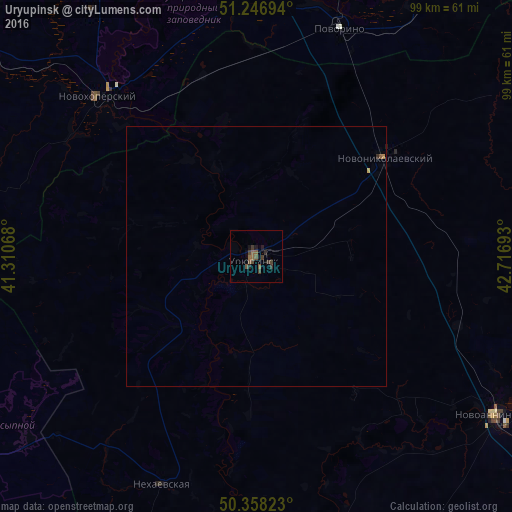
Analysis of Uryupinsk night lights 2016
Square area 10x10 km:
 0%
0%90-99
0%80-89
0%70-79
0%60-69
0.28%50-59
3.08%40-49
2.38%30-39
3.22%20-29
1.68%10-19
1.82%0-9
87.54%Square area 50x50 km:
0%90-99
0%80-89
0.01%70-79
0.01%60-69
0.03%50-59
0.14%40-49
0.09%30-39
0.12%20-29
0.09%10-19
0.08%0-9
99.42%Clear (daylight) street map image can be seen on geolist.org.
Map coordinates:
51° 14' 49" North, 41° 18' 38.4" East
50° 48' 16.9" North, 42° 0' 49.7" East
50° 21' 29.6" North, 42° 43' 0.9" East
Some cities around Uryupinsk sort by population:
• Borisoglebsk
62.7 km =39 mi,  4°
4°
• Novoanninskiy
55.8 km =34.7 mi,  123°
123°
• Povorino
46.3 km =28.8 mi,  20°
20°
• Gribanovskiy
72.7 km =45.2 mi,  357°
357°
• Novonikolayevskiy
31 km =19.3 mi,  52°
52°
• Novokhopërsk
42.4 km =26.3 mi,  320°
320°
• Kikvidze
73.3 km =45.5 mi,  95°
95°
• Yelan’-Koleno
67.1 km =41.7 mi,  305°
305°
478544 (p: 41,644)
Sources (retrieved 2019-11-25):
» Earth at Night: Flat Maps 2012, 2016